


Bartholomews One Inch Map Of The Lake District (1930’s /40’s)
USD 70.84 USD
Specifications
| Publication Year | 1930 |
| Series | Ordnance Survey |
| Type | Geological Map |
| Country | England |
Very good condition despite its age. The Bartholomews One Inch Map of the Lake District from the 1930s/40s is a valuable resource for those interested in the geology of the region. Published by John Bartholomew and Sons, this Ordnance Survey series map provides detailed information about the geological features of the Lake District in England. Authored by John Bartholomew and Son, this map offers a glimpse into the past and helps users understand the topography and geological makeup of the area. It is a useful tool for both historians and geologists looking to explore the Lake District's landscape.
Related Items
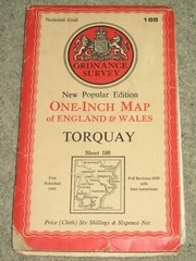
OS Ordnance Survey 1″ New Popular Edition sheet 188 Torquay – 1946 on cloth

USGS Geologic Map Frogue Quadrangle Burkesville Cumberland Co. Kentucky 1967

ORDNANCE SURVEY MAP MALTON & PICKERING SHEET 100

Ordnance Survey (OS) 1:50000 map sheet 77 New Galloway & Glen Trool
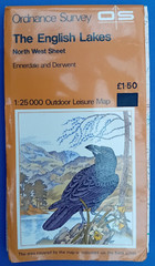
Vintage The English Lakes O. S. Outdoor Leisure Map 1:25,000 North West Sheet

BODMIN & LAUNCESTON Ordnance Survey CLOTH Seventh Series Map 1 In 1967 Sheet 186

Street Map of WAREHAM and surrounding district

Juan de Fuca Strait to/à Strait of Georgia | CHS Chart 3462 (34 x 47)