


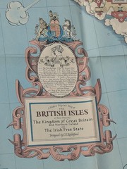




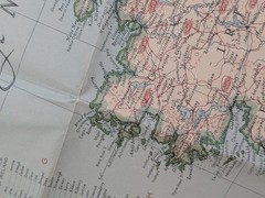

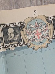


Vintage National Geographic Map The British Isles England Wales April 1949
USD 25.00 USD
Specifications
| Publication Name | National Geographic |
| Publisher | National Geographic |
| City | London |
| Subject | History |
| Publication Year | 1949 |
| Series | Unknown |
| Type | Historical Map |
| Format | Wall Map |
| Language | English |
| Region | Great Britain |
| Author | Unknown |
| Country | United States |
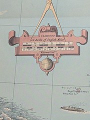
| Map Scale | Unknown |
| Country Of Origin | United States |
READ, There are holes or tears at the top due to use from being displayed in a classroom. This vintage National Geographic map from April 1949 depicts the British Isles, focusing on England and Wales. The historical map, in wall map format and in English language, provides a unique perspective on the region's geography and history. Published by National Geographic, this map offers a detailed representation of Great Britain, offering valuable insights for educators, historians, and geography enthusiasts. Size - 36" x 29" Ships in a padded poly mailer between two cardboard pieces.
Related Items

The Complete Map of the World. Geographia Map co. Alexander Gross
1970 Pembroke Bartholomew half-inch contoured map Sheet 11

Beacon Guidebooks Backcountry Sled-Skiing Buffalo Pass Colorado Atlas 2020 Off-…

Collins Maps Glasgow Pocket Map (Map) (UK IMPORT)

Oakengates (South) 1901 Shropshire Sheet 36.15 by Barrie Trinder

Rough Guide to the A to Z of Travel, Hardcover by Rough Guides (COR), Like Ne…

Complete Handy Atlas Of The World And City Guide Orange Judd Co. 1898

Dover, Folkestone & Hythe Map | England … by Ordnance Survey Sheet map, folded