
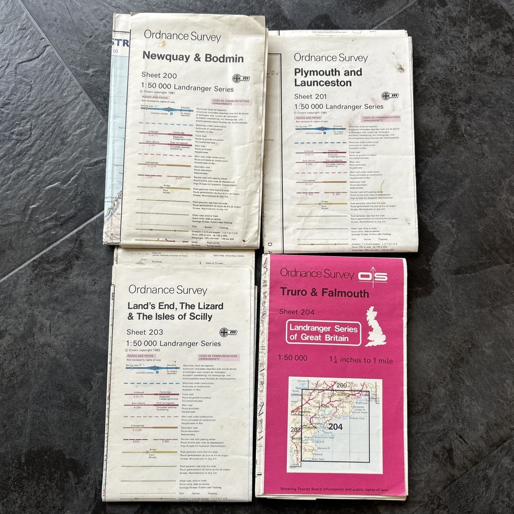




O S Power line and Obstruction overprint Cornwall 200, 201, 203, 204 1981-84
USD 13.38 USD
Specifications
| Publisher | OrdnanceSurvey Limited |
| Series | LANDRANGER |
| Type | POWER LINE OVERPRINT |
| Format | FOLDING |
| Language | English |
| Country | United Kingdom |
| Author | ORDNANCE SURVEY |
| Map Scale | 1:50,000 |
| UK Region | England |
| Country Of Origin | United Kingdom |
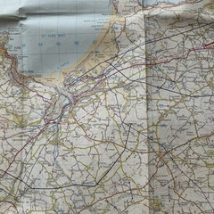
The product is a set of four Ordnance Survey Landranger maps with power line and obstruction overprints for Cornwall, covering the areas 200 Newquay & Bodmin 1982, 201 Plymouth & Lauceston 1982, 203 Land’s End, Lizard, Scilly 1983 and 204 Truro & Falmouth 1984. These maps are in English and were produced by Ordnance Survey Limited and overprinted under the DIRECTION OF THE DIRECTOR OF MILITARY SURVEY, MINSTRY of DEFENCE. The maps are folded and feature a map scale of 1:50,000, making them a valuable resource for navigating the UK region of England, specifically Cornwall. Only 204 has a paper cover.
Related Items

Map of Wicklow District Ordnance Survey Map In Acceptable Condition #56

Admiralty Charts The Channel Islands 2nd Edition 1999
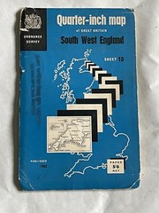
Vintage OS Ordnance Survey Quarter Inch Map,South West England. Sheet 15
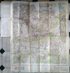
London S. E. Ordnance Survey Map 1970 171 Paper One Inch Sevenoaks Vintage south

Broughty Ferry 1901 Forfarshire Sheet 54.08 by Linda McGill

ABC LONDON STREET ATLAS ORDNANCE SURVEY UB12

South Downs Way Adventure Atlas by Geographers’ A-Z Map Co Ltd Book The Fast
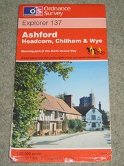
Ordnance Survey Explorer 1:25,000, Sheet 137 Ashford, Chilham & Wye – 1997