





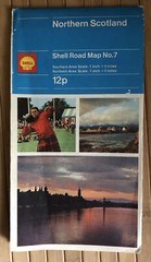
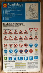

Shell Northern Scotland Road Map No. 7, 1971
USD 2.69 USD
Specifications
| Publication Year | 1971 |
| Type | Road Map |
| Publication Name | Northern scotland |
| Country | Scotland |
| Author | Shell |
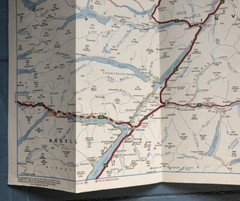
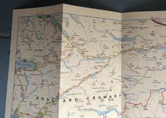
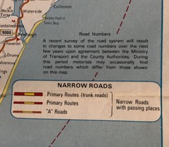
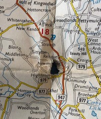
This is a road map from a series produced by Shell in 1971. This is number seven in the series. It shows Northern Scotland and it is at a scale of one inch to four miles in the southern area and one inch to five miles in the northern area. It is a fold-up paper map and measures approx 17.5x36 inches in size when opened out. It is printed on both sides. It shows some signs of its age including corner creases and a small hole where the folds cross - see photos. But it is still legible and useable. It is printed by George Philip Printers of London. It has a code number: C.5877/1 It includes the Shetland Islands and Orkney Isles. It shows major and minor road routes of the era.
Related Items

Vintage Ordnance Survey Landranger St Andrews Kirkcaldy 1987 Map 59

Vintage 1966 Shell Touring Road Map Europa Europe
Ordnance Survey One-Inch Map, Sheet 46: Loch Linnhe (1963).

BOURNEMOUTH & WEYMOUTH Sheet 140 Fifth Edition CLOTH Ordnance Survey 1 inch 1937
1971 Kummerly & Frey road map for sightseeing, Italy
Hallwag International – Road Guide Texas – Folding Map, USA

WALES & THE MARCHES Ordnance Survey Quarter Inch Map 1971 Lleyn Oswestry Fifth S
AAA 2017 Road Map – Boston Massachusetts