

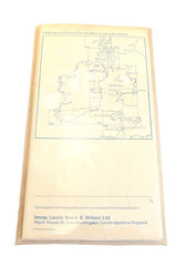
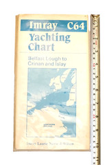
Vintage Imray C64 Yachting Chart Belfast Lough to Crinan and Islay Paper Map.
USD 20.18 USD
Specifications
| Type | C64 Yachting Chart |
| Language | English |
| Country | United Kingdom |
| Region | Northern Ireland |
| City | Belfast |
Published by the historic chart makers Imray Laurie Norie & Wilson. Includes coastal overview map on the front cover panel. The outer paper cover shows general age-related toning, light scuffing, and minor corner creases from storage.
Related Items
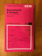
Ordnance Survey Map Sheet 195 – Bournemouth & Purbeck

Ordnance Survey Hastings Sheet 184 One Inch Map 1959 Seventh Series
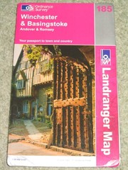
OS Ordnance Survey Landranger Map Sheet 185 Winchester & Basingstoke – 2002
Robin Pearson Tipton 1904 (Map) Old O.S. Maps of Staffordshire

Wolverton & Stantonbury 1898 Buckinghamshire Sheet 9.12b by Barrie Trinder

Batchelors Natural History Road Maps Of Britain – Complete set A, B & C

Ordnance Survey map sheet- Ludlow, 1:50,000 series, 1975

1988 BROMYARD Ordnance Survey 1:25000 Pathfinder Map 995 SO65/75