
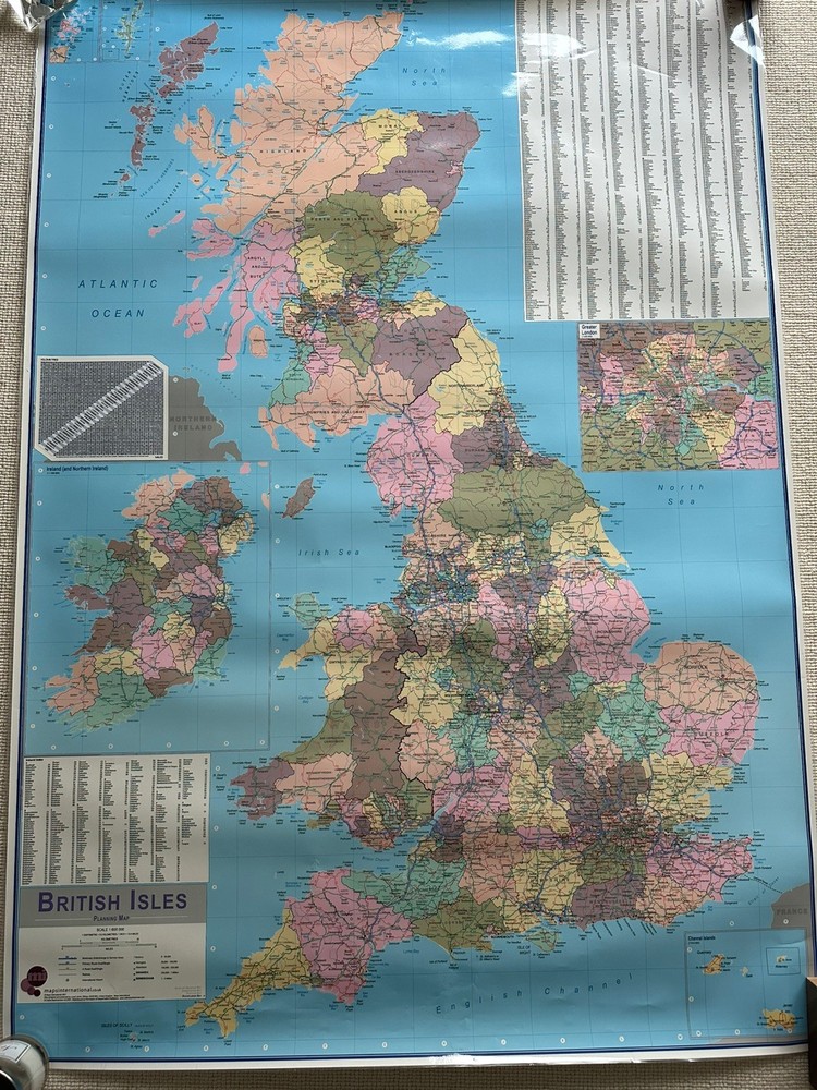
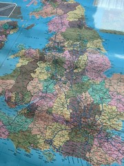
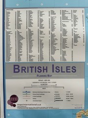

Large British Isle Wall Planning Map 1:600.000 2007 Maps Intern. Write On Wipe
USD 33.63 USD
Specifications
| Publication Name | British Isle |
| Publisher | XYZ Maps |
| Subject | Geography |
| Series | XYZ Continental Series |
| Publication Year | 2007 |
| Type | Planning Map |
| Format | Wall Map |
| Language | English |
| Region | Great Britain |
| Country | United Kingdom |
| Author | Maps International |
| Features | Poster |
| Map Scale | 1:4,600,000 |
| Country Of Origin | United Kingdom |
| Direct From XYZ Maps | Making maps since 1998 |
This large laminated wall planning map British Isle scale 1:600.000 Published Maps International in 2007. The route planning map shows the motorways, major roads and transport hubs such as airports and raul route in the UK. Shows major towns and their approximate population. Produced by Maps International this English-language poster is designed for writing and wiping, providing a convenient and interactive tool for studying and exploring the region pr marking places you have been or you are planning to visit. Perfect for classrooms, offices, or personal use, this high-quality map offers a comprehensive overview of Europe's political lands. Used with some minor puncture holes on the corners and at sone places. Still in great nick.
Related Items

AA South East England Road Map 3 miles to 1 inch map 3

Merriam-Webster’s Geographical Dictionary by Inc. Staff Merriam-Webster…
Rand McNally 2003 Large Scale Road Atlas United States Spiral Bound Maps Travel

East Midlands – Region of England Wall Map Laminated- Ordnance Survey

Timeline Historical map (1809-1811) Taunton & Lyme Regis. OS Landranger 193

Ordnance Survey Meon Valley, Portsmouth, Gosport & Fareham (Map)

2019 Rand McNally Large Scale Road Atlas, United States

Ordnance Survey One-Inch Map 159 THE CHILTERNS New Popular 6th Edition 1945