
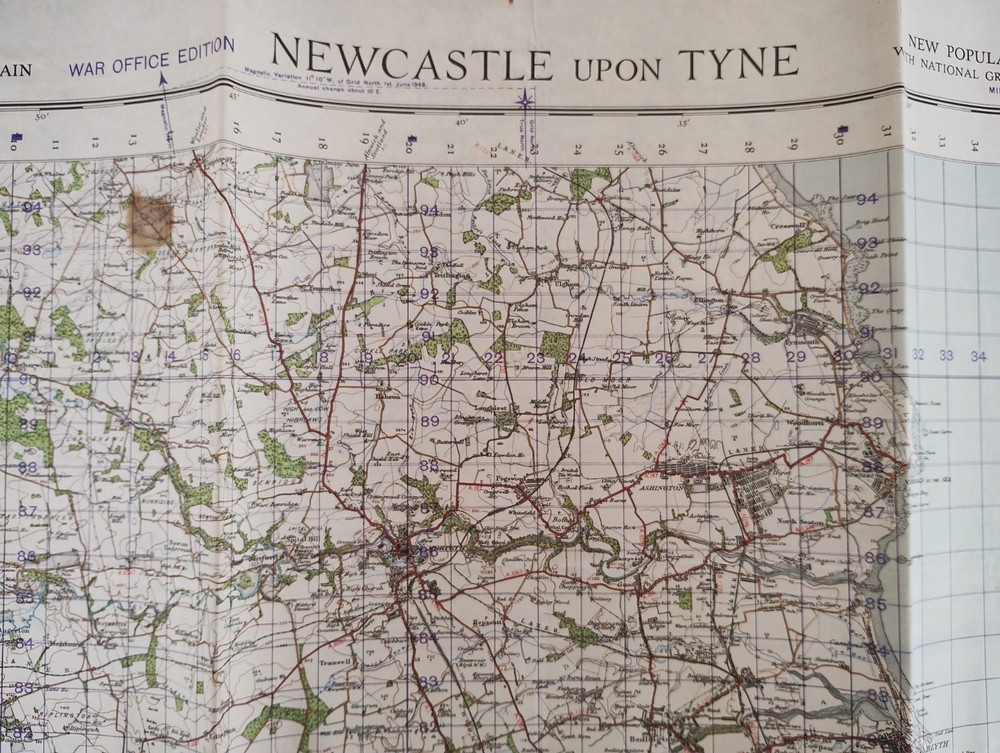

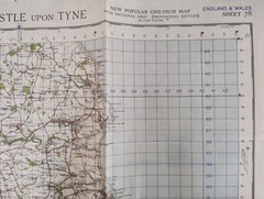
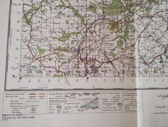
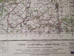
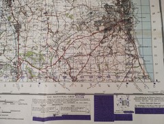
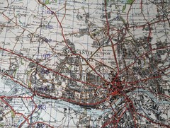
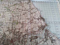
Vintage Second World War 1948 OS Map , WWII Map Newcastle upon Tyne Sheet 78
USD 31.61 USD
Specifications
| Country Of Origin | United Kingdom |
| Publisher | War Office |
| Subject | Wars |
| Series | Ordnance Survey |
| Publication Year | 1948 |
| Type | Map |
| Language | English |
| Country | United Kingdom |
| Region | Great Britain |
| Author | Ordnance Survey |
| Features | Folding Map |
Sheet 78. This vintage Second World War 1948 Ordnance Survey map features Newcastle upon Tyne, providing a historical glimpse into the area during WWII. Published by the War Office in 1948, this folding map is part of the Ordnance Survey series and is written in English. Created by Ordnance Survey, the map covers Great Britain, specifically the region of Newcastle upon Tyne South Shields Sunderland Tynemouth Whitley Bay Blyth, in the United Kingdom. This single-page map is a valuable piece of history for those interested in wars and cartography from that era. Size of map open 70cm x 88cm, folded 24cm x 30cm. Free UK mainland postage only. If you are outside of this area please contact for a delivery quote before purchasing thank you.
Related Items
Aylesbury Street Atlas (A-Z Street Atlas) by Geographers’ A-Z Map Company Book

Atlas of the World

Rheingau – page proof of area map from The World Atlas of Wine, 4th ed.

CAMBRIDGE, NEWMARKET & surrounding area – Ordnance Survey Landranger Map

Desk Reference Atlas Hardcover

Venice – Michelin City Map 9206: Laminated City Plan by Michelin Folded Book

Writing Away: A Creative Guide to Awakening the Journal-Writing Traveler: Used

Island & Beaches of Thailand Map