
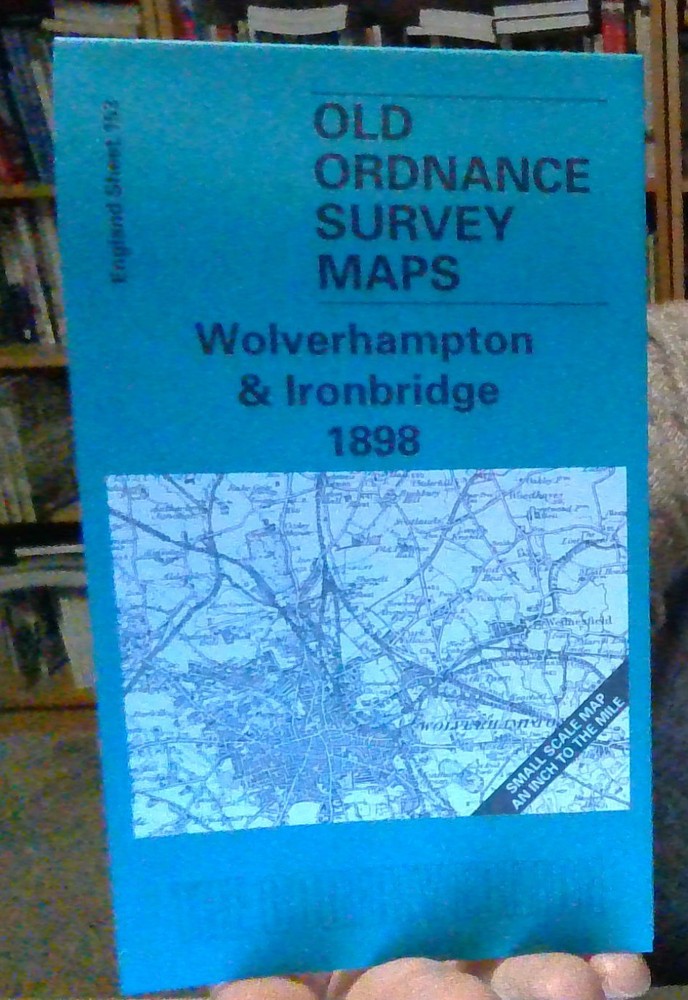
MAP OF Wolverhampton and Ironbridge 1898: One Inch Map 153 by Barrie Trinder NEW
USD 4.98 USD
Specifications
| Type | Foldable |
| Author | Alan Godfrey |
| Country | England |
MAP OF Wolverhampton and Ironbridge 1898. Coverage stretches across a busy area, from Oakengates and Dawley eastward to Wednesfield, and from Lilleshall and Teddesley Park southward to Wolverhampton.
Related Items

Bath, West Wiltshire, 2 x mini-guide leaftets, map, tourist info, 1980s vintage

Ordnance Survey 1:50000 First Series sheet 190 Bude & Clovelly 1980

Vintage Esso Roadmap No.2 South – East England and Wales 1980 – EX – + CITY MAPS

David & Charles – Winchester & The Solent Map – Reprint of OS Map – No 86

Ordnance Survey Explorer 1:25,000: Sheet 31 / 110 Torquay & Dawlish – 1997

Ordnance Survey Landranger Series Malton And Pickering Sheet 100 1:50000

Dunlop Motoring around London 1 inch to 1 Mile 1960s suit Classic Car
MAP OF Great Malvern & West Malvern 1926: Worcestershire Sheet 39.12 NEW