
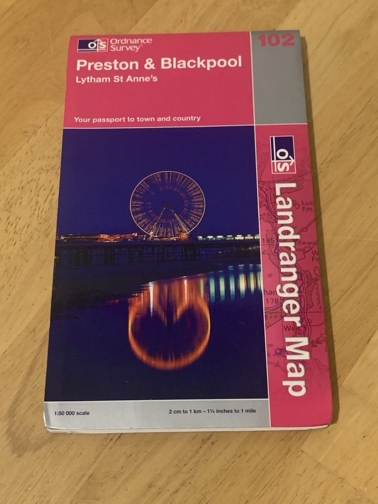

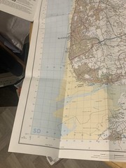
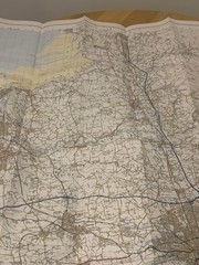
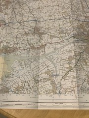
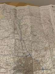
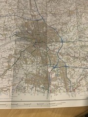
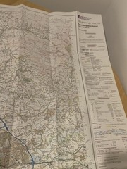
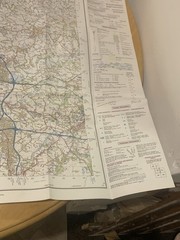
Ordnance Survey Landranger Map 102 Preston & Blackpool – Lytham St Annes (2004)
USD 7.98 USD
Specifications
| Country Of Origin | United Kingdom |
| Publication Year | 2004 |
| Type | City Map |
| Publication Name | Collins Primary Atlas |
| Author | Ordnance Survey |
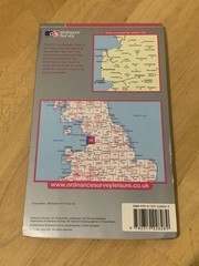
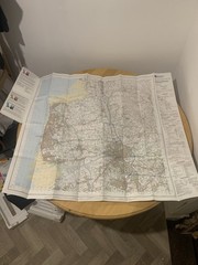
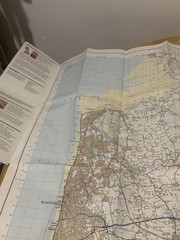
Ordnance Survey Landranger Map Sheet 102 – Preston & Blackpool (Lytham St Annes). Scale 1:50,000. Detailed OS map covering Preston, Blackpool, Lytham St Annes and surrounding areas of Lancashire. Shows roads, footpaths, towns, landmarks, rivers and terrain – ideal for walking, cycling and navigation. Condition: Very Good used condition. Map is clean and complete with normal fold lines. Outer cover shows minor signs of use. Please see photos for the exact item and condition. Any questions feel free to ask.
Related Items
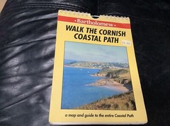
WALK THE CORNISH COASTAL PATH – MAP 🗺️ GUIDE IN STAGES-V GOOD CONDITION 1991
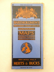
Bartholomew Half Inch Sheet Map on Linen No.15 Herts & Bucks 1946

OS Ordnance Survey Landranger Map Sheet 149 Hereford & Leominster – 1981

The Penguin Guide to London by F.R. Banks Published 1958 by Penguin Books. HB

4 x Vintage Mobil Oil Fold Up Maps Midlands Scotland Ireland England Bundle
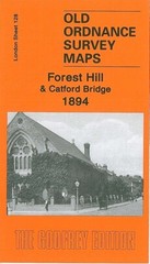
Forest Hill & Catford Bridge 1894 or 1914 London Sheet 128

TURN ME ROUND Otto Bromberger 1st small paperback all-colour Tobar trick-of-eye
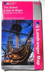
OS Landranger Map (1:50,000) Sheet 196 THE SOLENT & ISLE OF WIGHT