
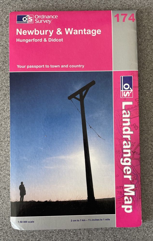
Newbury and Wantage, Hungerford and Didcot by Ordnance Survey Sheet Map 174
USD 2.65 USD
Specifications
| Binding | Sheet map, folded |
| Artist | Ordnance Survey |
| Date Of Publication | 2005-04-25 |
| Publisher | Ordnance Survey |
| Series | Ordnance Survey |
| Type | Sheet map, folded |
| EAN | 9780319228739 |
| Format | books |
| ISBN | 0319228738 |
| Language | English |
| Author | Ordnance Survey |
| Country | United Kingdom |
| Features | Folding Map |
| Map Scale | 1:50,000 |
| Country Of Origin | United Kingdom |
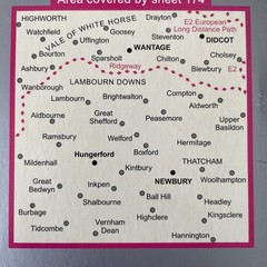
The Newbury and Wantage, Hungerford and Didcot by Ordnance Survey Sheet Map 174 is a folded sheet map published by Ordnance Survey in 2005. It features the townships of Newbury and Wantage, along with Hungerford and Didcot, at a map scale of 1:50,000. The detailed map includes various features and is a valuable resource for those looking to navigate the area accurately.
Related Items
The World Book atlas

Chandeleur and Breton Sounds | Waterproof NOAA Chart 11363
Hammond Odyssey Atlas of the World by Hammond World Atlas Corporation

Old County Map of Yorkshire, Traditional Boundary Map of Yorkshire (pre – 1974)

QuickStudy World Map, Laminated Poster, 50″ x 32″

365 Unforgettable Experiences: A Year of Celebrating Unique Cultures and World T

World Travel for Beginners : Your Guid to Travel the World and Document Stori…

50 Places in Rome, Florence and Venice Every Woman Should Go: Includes Budget T