

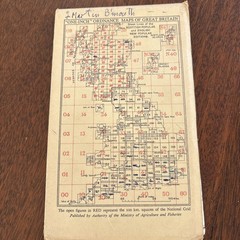
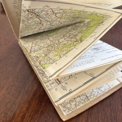
Vintage Ordnance Survey Map Sheet 182 Brighton & Worthing Cloth Edition
USD 17.47 USD
Specifications
| Publisher | Ordnance Survey |
| City | Brighton And Worthing |
| Series | New Popular Edition |
| Publication Year | 1940 |
| Type | Road Atlas |
| Format | Cloth Book |
| Language | English |
| Author | Ordnance Survey |
| Country | United Kingdom |
| Region | Great Britain |
| Map Scale | 1:50,000 |
| Features | Folding Map |
| Country Of Origin | United Kingdom |
A desirable cloth backed folding map covering Brighton, Worthing and the surrounding Sussex area, including locations such as Arundel, Littlehampton, Steyning, Horsham, Haywards Heath, Cuckfield and Hurstpierpoint.
Related Items
Admiralty Small Craft Chart 5600_21: Cowes Harbour
CHELMSFORD HARLOW No 167 1977 39771 1.500 000 Landranger Ordnance Survey Map
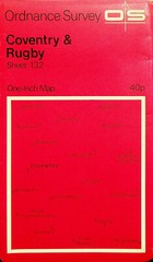
Ordnance Survey One-Inch 7th Series Map – Sheet 132- Coventry & Rugby

Buckinghamshire & East Berkshire by Ben Giles (Paperback Book)

OS Ordnance Survey Landranger Map 1992, Sheet 199 – EASTBOURNE, HASTINGS & AREA

Landranger (115) Snowdon & Caernarfon (OS Landranger Map) by Ordnance Survey The
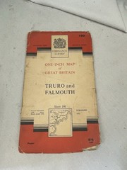
Vintage Ordnance Survey Map Of Great Britain Sheet 190 Truro And Falmouth Paper
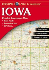
IOWA ATLAS & GAZETTEER (DELORME ATLAS & GAZETTEER) By Null Excellent Condition