
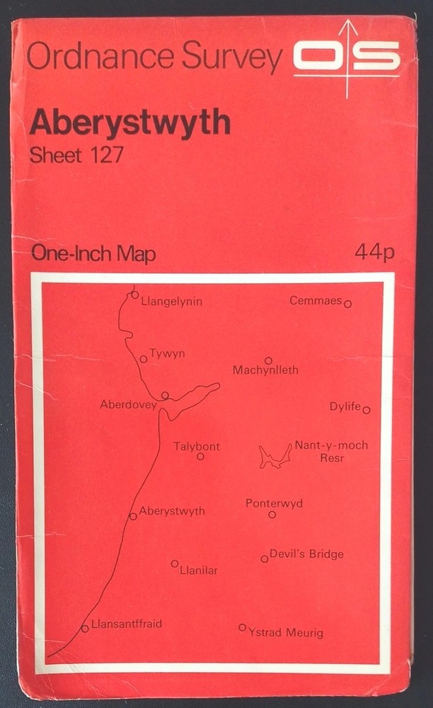






Ordnance Survey One-Inch Map, Sheet 127: Aberystwyth (1969).
USD 4.92 USD
Specifications
| Series | Ordnance Survey |
| Publication Year | 1969 |
| Type | One-Inch Map |
| Country | Wales, United Kingdom |
| Map Scale | 1:63,360 |
| Publisher | Ordnance Survey |
| Country/Region Of Manufacture | United Kingdom |
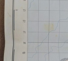
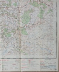
Ordnance Survey One-Inch Map, Sheet 127: Aberystwyth (1969). This map is in acceptable condition for its year with no pen, pencil marks, highlighting or tears. There's wear along the folds with discolouration on some of them, also there's blemishes on the white border edges and small one on the sea area. The cover has surface wear and creasing on both sides, along the edges and corners with discolouration and old staining marks on the back and inside edges. Overall, the map sheet is in better condition than the cover. Please see photo's.
Related Items

Imray Chart Pack 2300: Devon and Dorset Coasts (Spiral Bound)

Imray Chart Pack 3220: Cabo de la Nao to the French Border (Spiral Bound)

Ordnance Survey One-Inch Map, Sheet 171: London S.E. (1970s).

Imray Chart Pack 2100: Kent and Sussex Coasts (Spiral Bound)

Newquay and Padstow (Map) OS Explorer Active Map

Ordnance Survey 1″ to 1 mile Touring Map & Guide 2 North York Moors – 1994

Old Ordnance Survey Maps – Essex: Colchester 1896 – Godfrey Edition Series

Ordnance Survey 1:10000 Map National Grid Plans S58NW 1969 Specimen Widnes