
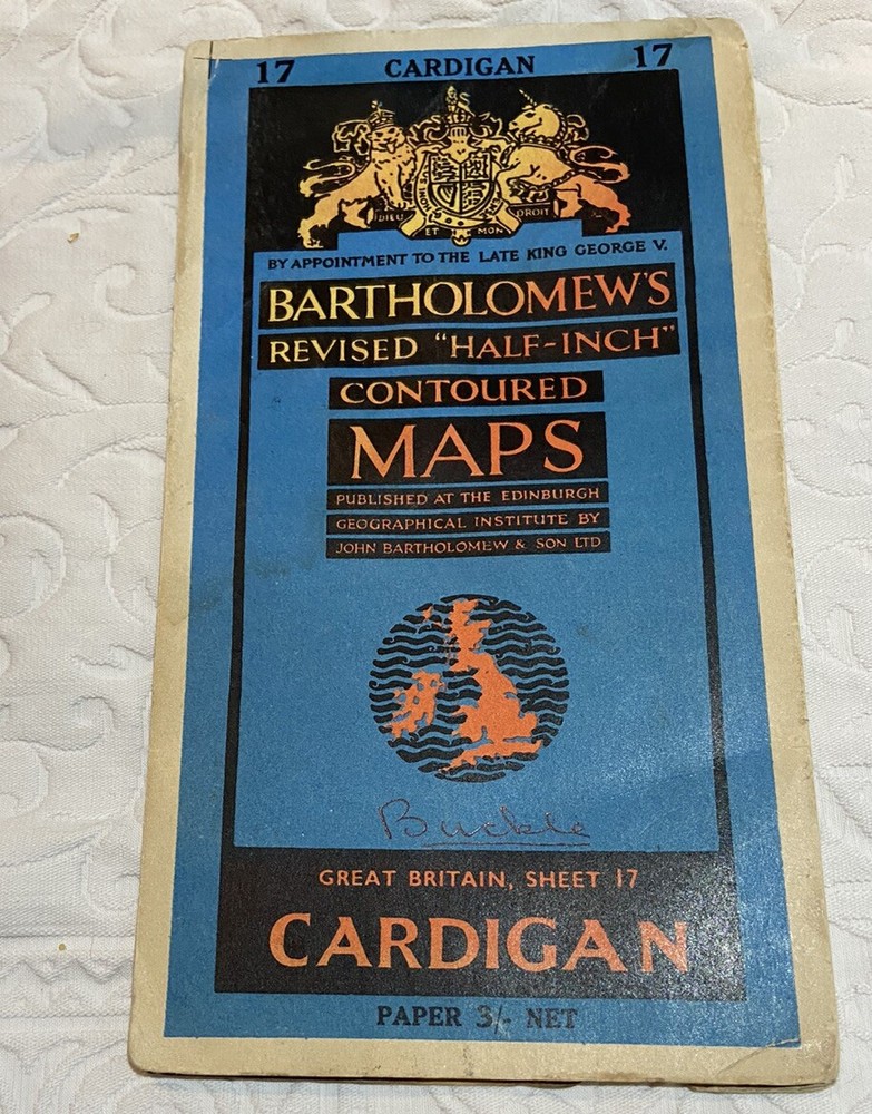
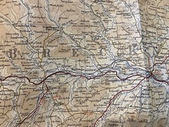
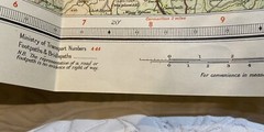
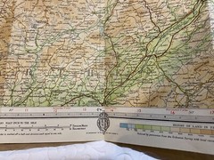
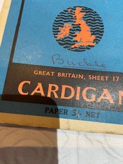
Cardigan Vintage Revised Half Inch Paper Bartholomews map No 17
USD 6.73 USD
Specifications
| Country Of Origin | United Kingdom |
| Publisher | Bartholomew’s |
| City | Cardigan |
| Series | Ordnance Survey |
| Publication Year | 1951 |
| Type | Road Atlas |
| Format | Folding Map |
| Region | Europe, Great Britain |
| Author | Ordnance Survey |
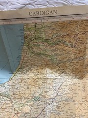
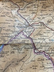
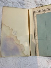
This vintage paper map of Cardigan, UK is a rare find for any map collector or enthusiast. The map was published in 1951 by Bartholomew's, as part of their Contoured Maps series, and is a revised edition of the original Ordnance Survey map. It features illustrations and a folding format that make it easy to carry around. The map is in good condition and has been well-preserved over the years. It is a half-inch road atlas, with detailed information about the city and surrounding areas. Whether you are a seasoned traveler or just curious about the history and geography of Cardigan, this map is an excellent resource. Some water marks shown in photos. The map is personalised with the name ‘Buckle’.
Related Items

Stranraer Glenluce Map The Rhins Ordnance Survey OS by Ordnance Survey
Philip’s 2024 Big Atlas Britain & Ireland – SPIRAL BOUND ⭐️⭐️⭐️⭐️⭐️ ✅️

Rugby (North) 1923 Warwickshire Sheet 28.03 by Alan Godfrey

Ordnance Survey Pathfinder Map – Newbury, Sheet SU 46/56 – 1981

Nottingham Seventh Revision (Super Red Book)

Lower Tamar Valley and Plymouth (Map) OS Explorer Map
Ordnance Survey Map: Cleckheaton, Plan SE 1926 NW, 1956

Vintage Bartholomew England & Wales Touring Map 1973 Edition