
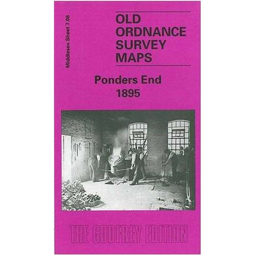
Ponders End 1895 (Middlesex Sheet 7.08) – Old OS Maps
USD 5.00 USD
Specifications
| Author | Alan Godfrey Maps |
| Publication Name | Ponders End 1895 |
| Type | Street Map/Directory |
| Publisher | Alan Godfrey Maps |
| Publication Year | 1999 |
| Region | Europe |
| Format | Folding Map |
| Language | English |
| Map Scale | 1:4,340 |
| Item Weight | 0.025kg |
| ISBN | 9781841510439 |
Features include Churchbury and Ponders End stations, the River Lea with Ponders End Lock, Corticine Works, White Lead Works, Flour Mill, nurseries, Durants Arbour, South Marsh. Each map includes extracts from a contemporary dirctory.
Related Items

Philip’s Street Atlas Surrey Spiral bound Book The Fast Free Shipping

The London MapGuide (Penguin) (2000) (BRAND NEW)

Bulford Village & Durrington 1923 Wiltshire Sheet 54.12 by Tony Painter

AAA North American Road Atlas 2005

Western France – La Rochelle – Road Map

Spain map 1073-I Conil De La Frontera hiking walking topographic 1:25K

NA West Coast San Diego-Aleutians & Hawai‘i | NOAA 530

Romsey, Andover and Test Valley (Map) OS Explorer Map