
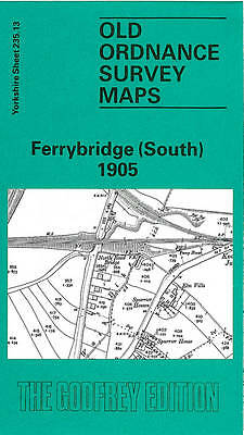
MAP OF Ferrybridge (South) 1905 by John Goodchild (Sheet map, 1990) NEW
USD 4.60 USD
Specifications
| ISBN | 9780850543674 |
This detailed map covers the southern part of Ferrybridge and also a portion of Knottingley. Coverage stretches from Cobblers Hill and Bubwith Bridge eastward to Knottingley station, and from Longbull Hill northward to Ferrybridge House.
Related Items

Wakefield & District 1907 One Inch Sheet 78 by John Goodchild

WAK WAKEFIELD AND WOOL JOHN GOODCHILD 48 Pages Very Tlrare Mark On Cover

John Goodchild Wakefield and District 1907 (Map)

Wakefield and District 1907: One Inch Sheet 078 by John Goodchild SHEET MAP

MAP OF Wakefield and District 1907: One Inch Sheet 078 by John Goodchild NEW

Wakefield South 1890 Yorkshire Sheet 24807 Old OS Maps of by John Goodchild

Wakefield and District 1907 by John Goodchild (Sheet map, folded)
MAP OF Knottingley 1905 YORKSHIRE SHEET 235.14 John Goodchild NEW 9780850543650