
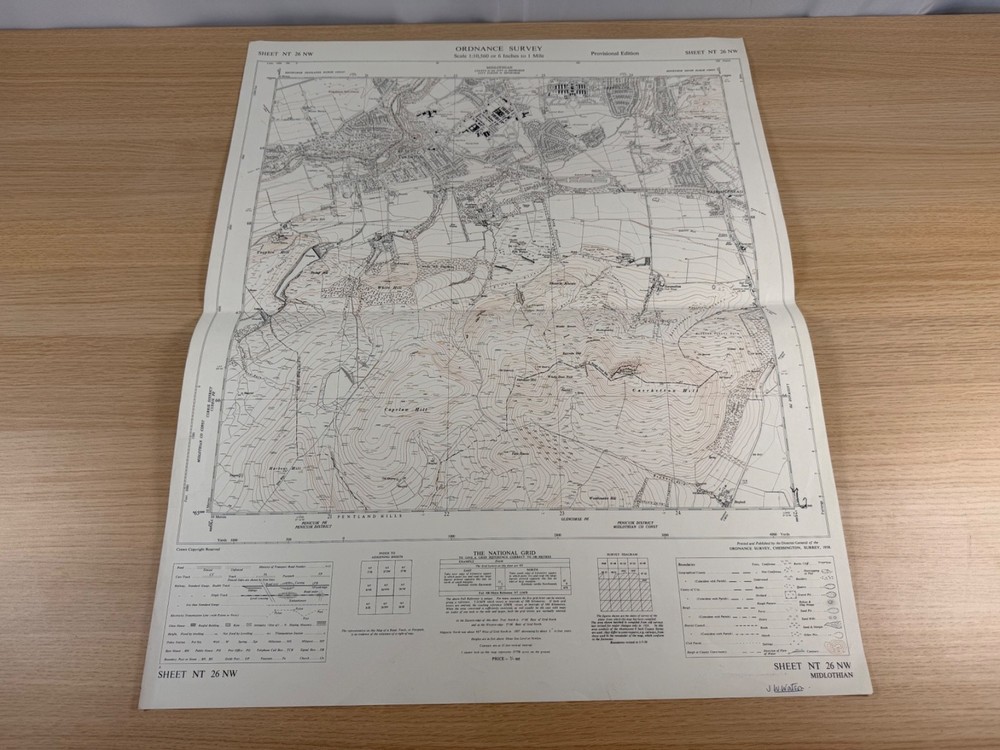
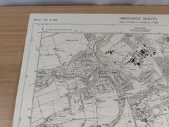

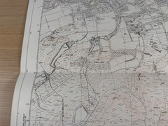
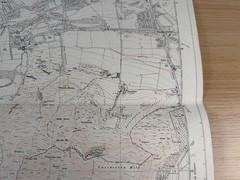
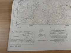
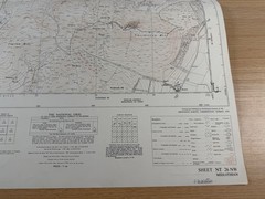


Ordnance Survey Map NT 26 NW Midlothian Colinton Pentland Hills 1958 6 Inch
USD 29.58 USD
Specifications
| Publication Name | Ordnance Survey |
| Publisher | Ordnance Survey |
| Series | Ordnance Survey |
| Publication Year | 1958 |
| Type | Map |
| Format | Wall Map |
| Language | English |
| Country | Scotland |
| Region | Great Britain |
| Map Scale | 1:10,560 |
| Country Of Origin | United Kingdom |
The original price of 7/- net is still printed in the lower margin. A genuinely useful map for anyone researching the social and topographical history of southwest Edinburgh in the 1950s, a Pentland Hills walker, a local-history enthusiast, a Colinton or Fairmilehead resident with an interest in how the area has changed, or a collector of mid-century Ordnance Survey large-scale sheets.
Related Items

1976 Ordnance Survey Landranger First Series Map 162 Gloucester & Forest Of Dean

Behave Yourself!: The Essential Gui…, Powell, Michael

Snowdon (Map) OS Explorer (UK IMPORT)

LAKE DISTRICT BUNDLE: OLD OS MAPS +MAP READING +M.BOYES/DALESMAN MINI-BOOK 1976

Approaches to Balboa | NGA Chart 21603

Pictorial History Of The 20th Century Hamlyn Book Hardback Hardcover Historical

Route Finding: Navigating with Map and Compass by Crouch, Gregory

The Story of Maps – Paperback By Brown, Lloyd A. – GOOD