
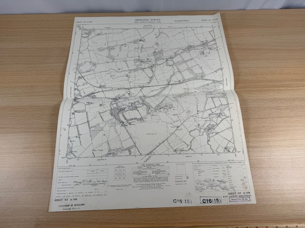


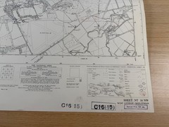



Ordnance Survey 6 Inch Map 1958 NT 16 NW Kirknewton RAF Airfield West Lothian
USD 25.55 USD
Specifications
| Publication Name | Ordnance Survey |
| Publisher | Ordnance Survey |
| Series | Ordnance Survey |
| Publication Year | 1958 |
| Type | Street Map/Directory |
| Format | Wall Map |
| Language | English |
| Region | Great Britain |
| Map Scale | 1:10,560 |
| Country Of Origin | United Kingdom |
The sheet covers a fascinating slice of country on the western edge of Edinburgh, including the villages of Kirknewton, Wilkieston, Burnwynd and Bonnington, the East Calder District, and Currie and Ratho parishes.
Related Items
Map Use: Reading, Analysis and Interpretation by Phillip C. Muehrcke

1983 Ordnance Survey Pathfinder Map SP 81/91 Aylesbury And Tring (incl Marsworth

New Concise World Atlas

Rand McNally Answer Atlas Geography Resource for Students Paperback

Thailand Road Map 1:900,000 scale by Freytag-Berndt (Sheet map, folded)

DZT Federal Republic of Germany, set of 10 individual tour maps, English notes

100 Greatest Trips Hardcover

VINTAGE OS MAP OF ASTON AREA HERTFORDSHIRE DATED 1946 SIX INCHES TO ONE MILE