
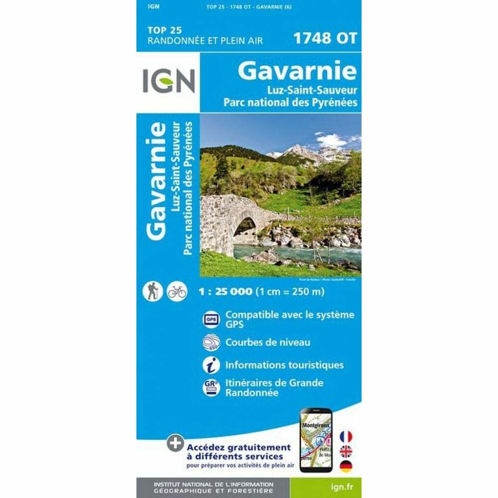
France 1:25K map 1748OT – Gavarnie / Luz-Saint-Sauveur / PNR des Pyrénées map
USD 21.25 USD
Specifications
| Country Of Origin | France |
| Type | Hiking Map |
| Series | IGN TOP25 / Blue Series |
| Country | France |
| Publication Year | 2022 |
| Region | Europe |
| Format | Folding Map |
| Language | French, English |
| Map Scale | 1:25,000 |
| ISBN | 9782758551867 |
The IGN TOP25 / Series Blue map 1748 OT covers Gavarnie / Luz-Saint-Sauveur / Parc National des Pyrénées in the Midi-Pyrénées region, France. Ending In E (East) or O (West). Single-sided map covering approx.
Related Items

OS Ordnance Survey Landranger Map 1987 Sheet 162 – GLOUCESTER AND FOREST OR DEAN

Huntingdon &St Ives Grafham Water map 225

Ordnance Survey 1:25,000 First Series Map SK 16 Monyash

Great Britain Routeplanner Map: 2004 by Ordnance Survey (Sheet map, folded, 200…

New York City Folding Map NYC 2006

1987 WEST LAVINGTON & Upavon OS Map 1:25000 Pathfinder Map 1201 Vintage Wiltshir

Bourgogne Vineyards – La Grande Côte wall / poster map

TOSCANA TUSCANY road map vintage 1971 **see scans**