
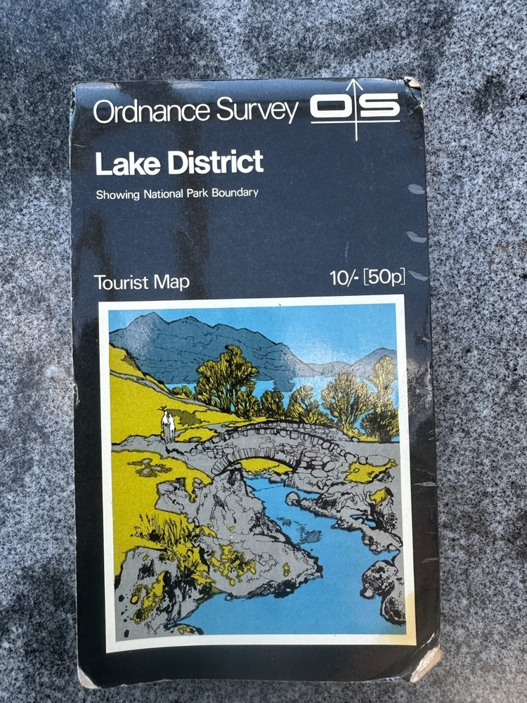
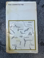
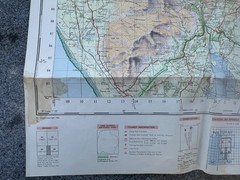

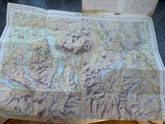
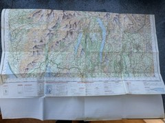
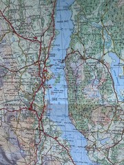
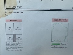
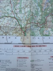
Ordnance Survey Tourist Map Lake District 1970, rare cover with Ashness Bridge
USD 6.07 USD
Specifications
| Publication Year | 1970 |
| Series | Ordnance Survey |
| Type | Hiking Map |
| Language | English |
| Publication Name | Collins Primary Atlas |
| Author | Ordnance Survey |
| Country | United Kingdom |
| Region | Great Britain |
| Features | Folding Map |
| Publisher | Ordnance Survey |
| Country Of Origin | United Kingdom |
Incidentally, the image is actually printed back to front! This is the very first version with the "Black Cover" that lasted from 1970 to 1981, in various revisions.
Related Items

VINTAGE OS MAP THE MOUNT AREA SUSSEX 1910 EDITION – SIX INCHES TO ONE MILE

PHILIP’S MODERN SCHOOL ATLAS 95TH EDITION HARDBACK 2006

Mapping the Second World War: The history of the war through maps from 1939 …
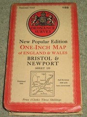
OS Ordnance Survey 1″ New Popular Edition sheet 155 Bristol &Newport; 1946 cloth
Ordnance Survey Map: Bradshaw/Meltham Moor, Sheet SE 00 NE, 1956

Calabria, Road and Leisure Map, 1:150.000, by Freytag-Berndt (Sheet map, folded)

A Pictorial Guide to the Lakeland Fells Book O… by Wainwright, Alfred Hardback
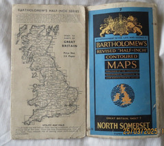
Bartholomew’s “Half Inch” map of NORTH SOMERSET (Contoured) 1947