

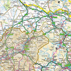



Old County Map of Yorkshire, Traditional Boundary Map of Yorkshire (pre – 1974)
USD 32.77 USD
Specifications
| Material | Paper (84 x 118 cm) |
| MPN | H29 |
| Publisher | XYZ Maps |
| Subject | Geography |
| Format | Wall Map |
| Author | XYZ Maps |
| Country | United Kingdom |
| Region | Northern England |
| Features | Poster |
| Map Scale | 1:200,000 |
| Country/Region Of Manufacture | United Kingdom |
The historic map covers,Middlesbrough, Whitby, Scarborough, Bridlington, Skipton, Harrogate, York, Kingston Upon Hull, Leeds, Bradford, Huddersfield, Barnsley, Doncaster, Rotherham and Sheffield. The traditional county map has the historic county boundaries overlaid on an up to date Ordnance Survey 1:250,000 scale map.
Related Items

Cook Inlet-Anchor Point to Kalgin Island;Ninilchik Harbor | NOAA 16661
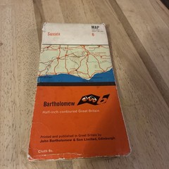
Bartholomew, Half Inch Cloth Map, No: 6, Sussex
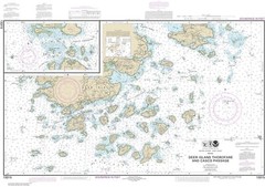
Deer Island Thorofare and Casco Passage | Waterproof NOAA Chart 13315

OS Ordnance Survey One Inch Map, Weston-Super-Mare, Sheet 165, 1946

Litherland (East) 1906 Lancashire Sheet 99.10 by Kay Parrott
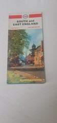
1967 Esso South and East England Vintage Road Map
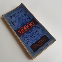
Surrey Bartholomews Ordinance Survey Map foldout Sheet 30 British 1/2″ vintage

4 Ordnance Survey Explorer Maps Bradford Leeds York, Selby Tadcaster Wharfedale