
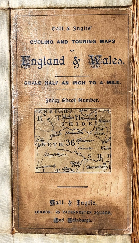
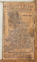
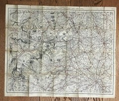
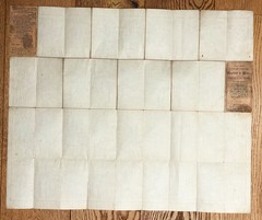
Gall & Inglis Cycling & Touring Map No 36 Merion, Shrop & Flint Shires c1894
USD 27.98 USD
Specifications
| Publisher | Gall & Inglis |
| Item Length | 670mm |
| Subject | County Map |
| Series | Gall & Inglis |
| Publication Year | 1894 |
| Type | Cycling Map |
| Format | Folding Map |
| Language | English |
| Region | Great Britain |
| Country | Wales |
| Author | Cruchley |
| Map Scale | Half Inch to One Mile |
| Country Of Origin | United Kingdom |
| Item Width | 550mm |
Publisher: Gall & Inglis (London and Edinburgh), using plates originally from G.F. Cruchley. The outer cardboard covers are a little edge worn but intact. This included marking.
Related Items

Italy Sestriere, Claviere, Sansicario, Prali 25K IGC Map 105 hiking GTA skiing
Old Ordnance survey map Second series Windsor Sheet SU 87/97 1:25 000

Lonely Planet Lonely Planet USA Planning Map (Map) Map

OS PATHFINDER 1306 WORTHING & LITTLEHAMPTON WALKERS MAP 1:25 000 SCALE

OS Ordnance Survey Landranger Map Sheet 140 Leicester, Coventry & Rugby – 2008
South Shoreditch & Bunhill Fields 1872 London Large Scale Sheet 7.46
Kerry (Map) Irish Discovery Series
Gregory’s Road Atlas Of Australia – Paperback Binder Essential Travel Companion