
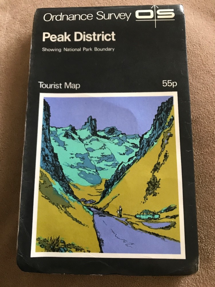
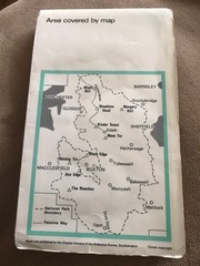
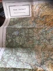
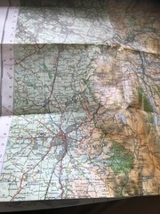
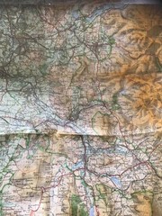
OS tourist map – PEAK DISTRICT 1970s.
USD 5.31 USD
Specifications
| Publication Name | Lake District |
| Publisher | Ordnance Survey |
| Series | Ordnance Survey |
| Type | Tourist map |
| Format | Folding Map |
| Language | English |
| Country | UK, United Kingdom |
| Features | Folding Map |
| UK Region | England |
| Country Of Origin | United Kingdom |
The OS tourist map - PEAK DISTRICT 1970s is a vintage folding map produced by the Ordnance Survey in the United Kingdom. Focusing on the Lake District region, this English-language map is a classic piece of cartographic history. Not modified or personalised, this map is a valuable tool for exploring the picturesque landscapes of Great Britain. Ideal for collectors or those interested in the topography of the UK, this Ordnance Survey map offers a glimpse into the past and allows users to navigate the stunning Peak District with ease.
Related Items

The Penguin Atlas of Women in the World

Rand McNally Know Geography World Atlas (Grades 9-12) Paperback English

OS Ordnance Survey Landranger Map Sheet 187 Dorking, Reigate & Crawley area 1995

Ordnance Survey (OS) 1:10 000 Original Sheet Map, DURHAM NZ 22 SE, 1992
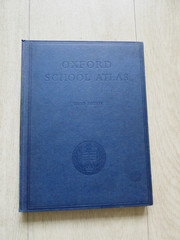
Oxford School Atlas, 3rd Edition, 1963

The Penguin Historical Atlas of the Vikings (Hist Atlas) by Haywood
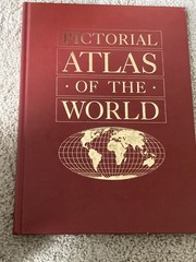
Pictorial Atlas of the World-Ottenheimer Publishers 1993 Hardcover-0824117069 A+
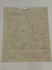
OS, 6 Inch to 1 Mile Map, sheet ST 31 NW, Somerset, Ashill area, 1969