
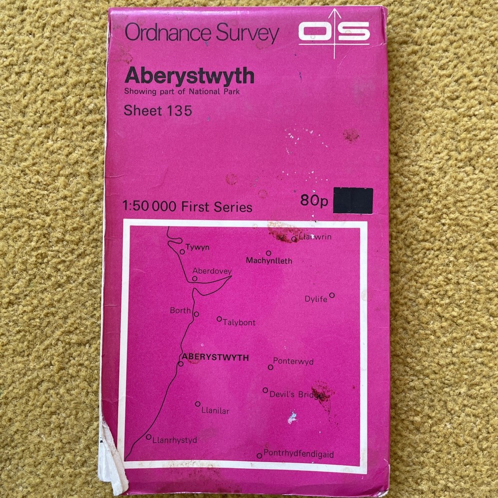
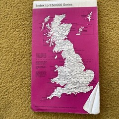
Aberystwyth/Tywtn/Aberdyfi/Borth OS 135 Landranger Sheet Map Folded 1974
USD 2.60 USD
Specifications
| Returns Accepted | ReturnsNotAccepted |
| Publication Name | Aberystwyth |
| Publisher | Ordnance Survey |
| Subject | Transportation |
| Publication Year | 1974 |
| Type | Travel Maps |
| Format | Sheet Map |
| Language | English |
| Item Height | 1000 mm |
| Author | Ordnance Survey |
| Features | Folding Map |
| Map Scale | 1:50,000 |
| Country/Region Of Manufacture | United Kingdom |
| Item Width | 990 mm |
This Ordnance Survey sheet map is a must-have for anyone interested in transportation in Aberystwyth, Tywtn, Aberdyfi, or Borth. The 1:50,000 scale map was published in 1974 and is in English language. It features a folding design and is a travel map format. The map is personalised with the publication name "Aberystwyth" and the author is Ordnance Survey. It has a height of 1000mm and a width of 990mm. The map is a great addition to any collection of travel maps and is perfect for those who enjoy exploring the outdoors.
Related Items

Lonely Planet Offbeat North America (Hardback) Lonely Planet

South West Turkey Leisure Map-Holiday maps by Bartholomew Clyde-folded map-VG

Ordnance Survey One Inch Map – South Skye & Arisaig, Sheet 34 – 1969

Where To Go When: Unforgettable Trips for Every Month (DK Eyewitness Travel …

Rick Steves’ French, Italian & German Phrase Book by Rick Steves: Used

France Côtes-d’Armor by bike IGN map VEL10 cycling mountain bike route planning

Ordnance Survey Map ~ Aldershot and Guildford ~ Sheet 186 ~ 1974/1980

Complete Atlas of the World, 4th Edition: Classic Mapping for the Modern World,