
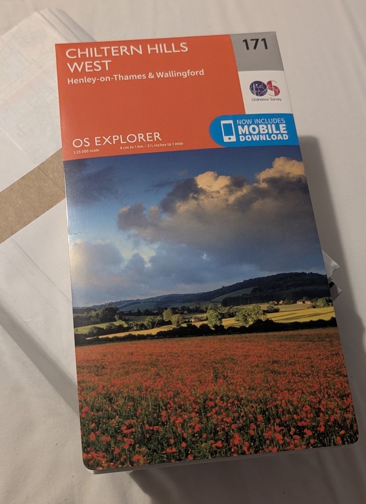

OS Explorer 171 Chiltern Hills West, Henley-on-Thames and Wallingford Map (2015)
USD 6.71 USD
Specifications
| Publication Name | OS Explorer |
| Publisher | Ordnance Survey |
| Edition | September 2015 ed |
| Series | OS Explorer Map |
| Publication Year | 2015 |
| Type | Hiking Map |
| EAN | 9780319243640 |
| ISBN | 9780319243640 |
| Release Year | 2015 |
| ISBN-10 | 0319243648 |
| Author | Ordnance Survey |
| Country | United Kingdom |
| Genre | Travel & Transport |
| Topic | Sports & Hobbies |
| Release Date | 16/09/2015 |
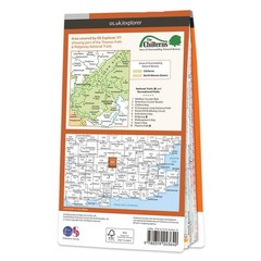
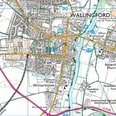
The OS Explorer map of Chiltern Hills West, including Henley-on-Thames, and Wallingford is a must-have when visiting the Chiltern Hills, or 'The Chilterns' as they are referred to locally.Given the title of AONB in 1965, the Chiltern Hills are a quintessential piece of British countryside. So much to see and do crammed into one map, some notable highlights include: Henley-on-Thames, Wallingford, Purley-on-Thames, Watlington, Caversham, the Chilterns and North Wessex Downs, the Chiltern Way, Thames Path, River Thames, and a section of the Ridgeway. OS Explorer maps are perfect for day-tripping, extensive hikes, and cycling.Format: Folded map Physical Size: 952 x 1270 mm (133 x 240 mm folded)
Related Items
8 X Ordnance Survey Maps

Berger’s Tourists Guide to New Mexico, Including Descriptions of Towns,

Ordnance Survey Map Sheet 137 Lowestoft (One Inch Map)

Birmingham and District 1910 (Map) Old O.S. One Inch Maps

1977 Bartholomew Ireland Quarter Inch Travel Map 4 Cork – Killarney

AA Road Map Wales (Sheet map, folded)

ordnance survey maps scotland. Loch Alsh 33, Loch Shiel 40 & Ben Nevis 41

Carmarthen and Kidwelly (Map) OS Explorer Active Map