
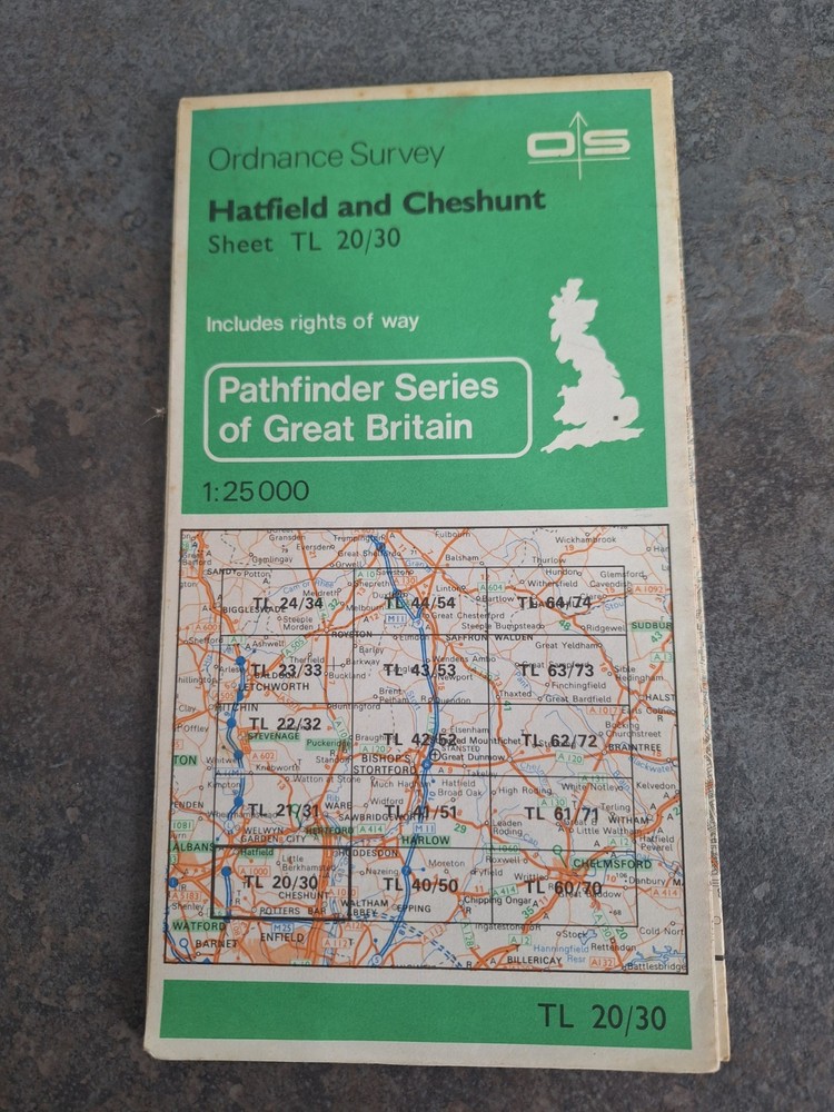

Ordnance Survey Pathfinder Map Hatfield & Cheshunt TL 20/ 30 1982 Sheet Map
USD 2.68 USD
Specifications
| Publication Year | 1982 |
| Series | Ordnance Survey |
| Type | Hiking Map |
| Language | English |
| Publication Name | Pathfinder Series |
| Country | United Kingdom |
| Region | Great Britain |
| Author | Ordnance Survey |
| Features | Folding Map |
| Map Scale | 1:25,000, 1:25,0 |
| Publisher | Ordnance Survey |
| Country Of Origin | United Kingdom |
This map is used but in very good condition The Ordnance Survey Pathfinder Map of Hatfield & Cheshunt TL 20/30 from 1982 is a detailed hiking map of Great Britain. Published by Ordnance Survey, the map is part of the Pathfinder Series and is in English. It features a folding map design at a scale of 1:25,000, making it an ideal tool for exploring the region of Hatfield and Cheshunt. With its accurate cartography and clear markings, this map is a valuable resource for outdoor enthusiasts looking to navigate the beautiful countryside of the United Kingdom.
Related Items

1970 OS 1″ map Sheet 177 Taunton & Lyme Regis

SLOUGH WINDSOR MAIDENHEAD map book approx 1990s local red book

West Twickenham and Strawberry Hill 1894… by Griffiths, John Sheet map, folded

SP Maps – MARKET HARBOROUGH and LUTTERWORTH Street Plan and Guide.

Atlas of the World

Encyclopedic World Atlas

Ordnance Survey 1:25,000 First Series Map Sheet SP 01 Andoversford

West London, Rickmansworth & Staines (Map) OS Landranger Map