
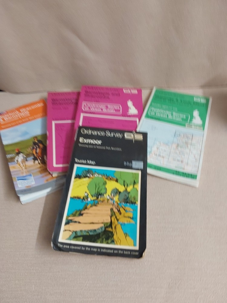
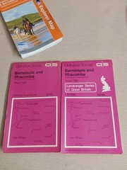
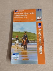
5 Ordnance Survey Maps Barnstaple, Ilfracombe, Exmoor, Bideford, Lundy Island
USD 9.41 USD
Specifications
| Type | Road Atlas |
| Publication Name | ordnance Survey |
| Author | ordnance Survey |
| Country | England |
| Publisher | Ordnance Survey |
| Country Of Origin | United Kingdom |
This product is a set of five Ordnance Survey maps covering the areas of Barnstaple, Ilfracombe, Exmoor, Bideford, and Lundy Island. These maps are published by Ordnance Survey in the United Kingdom, providing detailed maps of England. The Ordnance Survey is known for its accurate and reliable mapping of the country, making these maps a valuable resource for navigating the beautiful landscapes and attractions of the region. Perfect for exploring the charming towns and stunning natural scenery of Devon and Somerset.
Related Items

Ordnance Survey 1:50000 First Series Sheet 138 Kidderminster & Wyre Forest 1974

Ordnance Survey Landranger Map 165 Aylesbury & Leighton Buzzard area
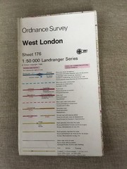
1987 Ordnance Survey Landranger Second Series Map 176 West London

Original Vintage Sketch Map Of The Union Of Italy 1859-1870

AAA Interstate Road Atlas 2004 Edition Road Atlas Canada US Mexico

Morpeth and Blyth by Ordnance Survey (Sheet map, folded)

Vintage Imray Chart: Harwich to Whitby Map

Hidden Places of Norfolk & Suffolk (1990) East Anglian, Anglia – Joy David – PB