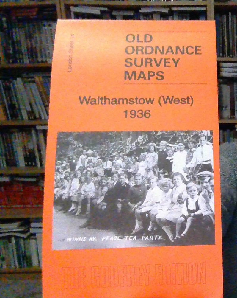
MAP OF Walthamstow (West) 1936 London Sheet 14.4 by Tony Kirby NEW 9781847849694
Specifications
| Return Postage Will Be Paid By | Buyer |
| Returns Accepted | Returns Accepted |
| After Receiving The Item, Your Buyer Should Cancel The Purchase Within | 30 days |
| Publisher | Alan Godfrey Maps |
| Subject | History |
| Publication Year | 2016 |
| Language | English |
| Type | Textbook |
| Author | Tony Kirby |
| Format | Sheet Map |
Here are the details of maps for west Walthamstow: London Sheet 14.1 Walthamstow West 1894 - published 2010; intro by Alan Godfrey. Partly coloured. ISBN.978-1-84784-432-3 London Sheet 14.2 Walthamstow West 1913 - published 1988; intro by Jonathan Evans. ISBN.978-0-85054-206-6 London Sheet 14.3 Walthamstow West 1936 - published 2016; intro by Tony Kirby. ISBN.978-1-84784-969-4 We have published three versions of this map, showing how the area changed across the years. Note that the 1894 version is partly colour printed; see our Sept 2010 Newsletter. The map covers the western part of Walthamstow, with coverage stretching from the River Lea Navigation and Ferry Boat Inn eastward to Colebrook Road and Brookdale Road; and from Shakespeare Road, Higham Hill southward to St James Street station. Features include railway, incl Blackhorse Road station; tramways, several reservoirs, Tottenham Lock, Ferry Boat inn, busy western area of Walthamstow and industries off Blackhorse Lane. The map links up with Sheets 9 Tottenham Marsh to the north, 13 Tottenham to the west, 15 Walthamstow East to the east, and 22 Walthamstow Marshes to the south.
Related Items