

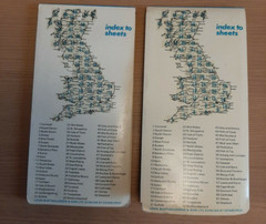
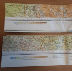

Bartholomews Vintage Maps No’s 31 & 32 N. Lancashire & West Riding 1970 & 1969
USD 9.36 USD
Specifications
| Country Of Origin | United Kingdom |
| Publication Year | 1970 |
| Type | Road Atlas |
| Language | English |
| Country | United Kingdom |
| Region | Great Britain |
| Publisher | Bartholomews |
Bartholomews Maps No's 31 & 32 N. Lancashire & West Riding 1970 & 1969. Scale 1/2 inch - Mile. Acceptable condition for age may have some splits along creases, but very readable. Made of paper.
Related Items

Hammond’s Global-Geography Atlas Vintage

Porthmadog 1913 Caernarvonshire sheet 34.16 by Alan Godfrey

OS Maps 98, 99, 100,101,103,104 ~ Yorkshire, Wensleydale, Malton, Leeds, Ripon

Goode’s World Atlas by Rand McNally: Used

Landranger Map 151 Stratford-upon-Avon Ordnance Survey Latest-With Download Code

ESRI Map Book Volume 31-2016-GIS Maps-United States-Around The World-Full Color

Collins World Atlas: Paperback Edition by Collins Maps Paperback Book

National Grid Seventh Series Sheet 77 Hexham : Ordnance Survey