
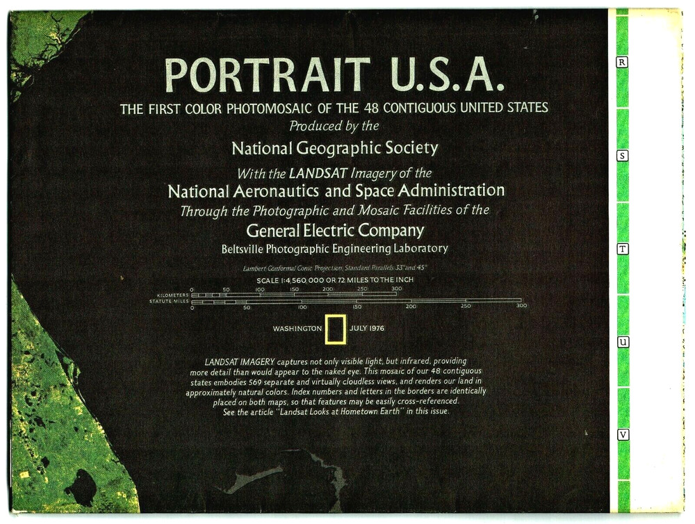
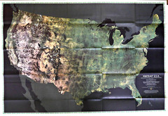
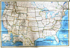
JULY 1976 PORTRAIT USA The 1st landmark colour satellite mosaic of the States
USD 10.76 USD
Specifications
| Publication Year | 1976 |
| Type | Sheet Map |
| Publication Name | National Geographic |
| Author | National Geographic |
| Publisher | National Geographic |
The first color satellite photo mosaic of the 48 contiguous United States, this landmark map was published in July of 1976. The near-true color imagery creates a portrait of the patchwork quilt of the entire country. Trace the Mississippi river from its source to the Gulf of Mexico. See the deserts of New Mexico, Arizona, and California. Follow the Rocky Mountains through the western states. A cartographic benchmark, this map laid the groundwork for the many that have followed.
Related Items

Winchester and Basingstoke Map Ordnance Survey 1:50000 1st Series Sheet 185 1974

National Geographic Global Atlas: A Comprehensive Picture of the World Today…

CANADA Vintage 1936 Wall Map NATIONAL GEOGRAPHIC Pre-WWII Original Color

Insight Travel Maps: Austria by APA Publications Limited Sheet map Book The Fast

Atlas Maps Holy Land Satellite Vol 2 Regions ROHR Geography Archaeology

National Geographic Atlas of the MIddle East, Hardcover, 2003

Insight Flexi Map: Budapest (Insight Flexi … by APA Publications Lim Sheet map
1976 OS Metric Map sheet 158 Tenby – waxed Library Edition