
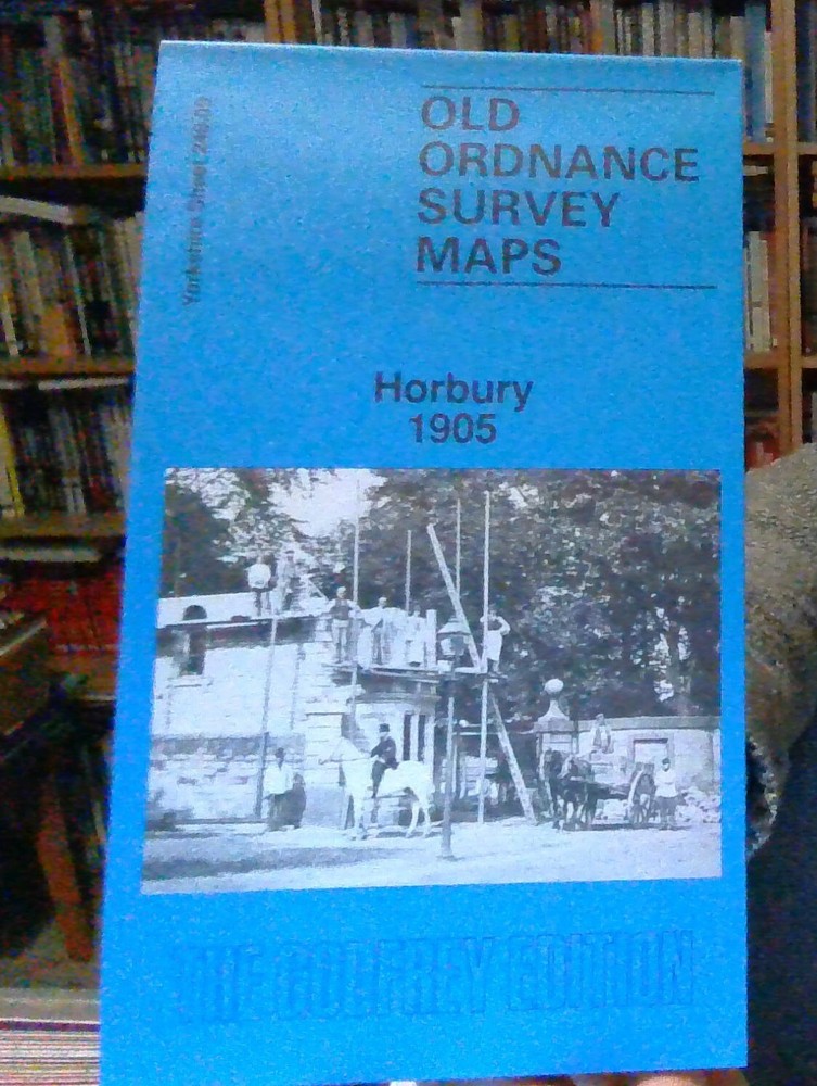
MAP OF Horbury 1905: Yorkshire Sheet 248.09 Goodchild, John NEW 9780850541755
USD 4.61 USD
Specifications
| Binding | Sheet map, folded |
| Artist | Goodchild, John |
| EAN | 9780850541755 |
| ISBN | 0850541751 |
| Length | 210.06 |
| Height | 4.06 |
| Width | 116.08 |
This detailed map covers Horbury and Horbury Bridge, just west of Wakefield. The River Calder and Calder & Hebble New Cut run through the map. The Lancashire & Yorkshire Railway crosses the map, with Horbury & Ossett station.
Related Items

Lonely Planet Croatia Planning Map
Sherwood Forest by Ordnance Survey (Sheet map, folded)

Michelin Map The World 13701 (Laminated, Rolled) (Maps/Wall (Michelin))

Cambridge and Newmarket, Saffron Walden … by ordnance-survey Sheet map, folded

Lonely Planet San Francisco City Map (Map) Compact City Planning Maps

Nicolson Street Map Inverness: Including Ardersi… by Val Fry Sheet map, folded

Lonely Planet Lonely Planet Oxford & the Cotswolds Planning Map (Map) Map

MAP OF Darlington (West) 1898: Durham Sheet 55.05, Suddes, Alan NEW