
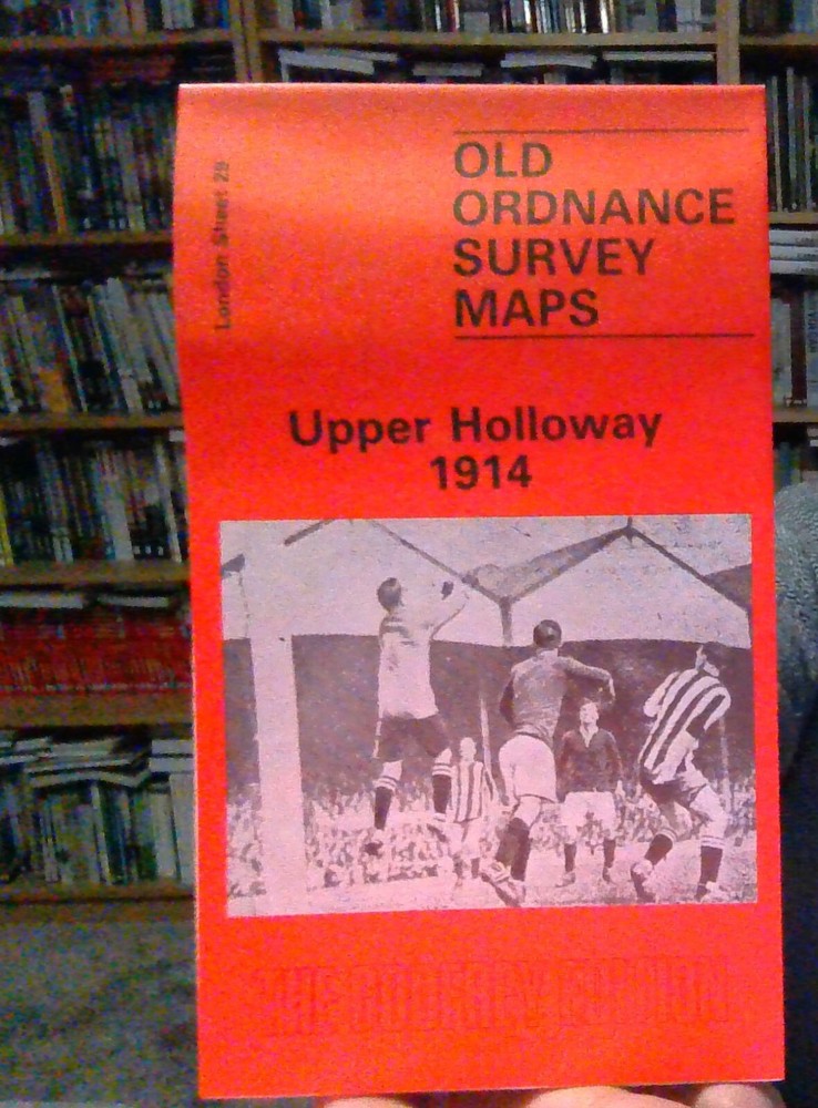
MAP OF Upper Holloway 1914 , London Sheet 29, NEW
USD 4.61 USD
Specifications
| Artist | Godfrey, Alan |
| Binding | Sheet map, folded |
| Book Title | Upper Holloway |
| Publication Name | Upper Holloway 1914 |
| Release Title | Upper Holloway |
| Title | Upper Holloway |
| City | London, Islington |
| Publisher | Alan Godfrey Maps |
| Subject | History |
| Publication Year | 1991 |
| Type | Street Map/Directory |
| Format | Sheet Map |
| ISBN | 085054436X |
| Language | English |
| Length | 210.06 |
| Item Height | 220mm |
| Author | Alan Godfrey |
| Country | United Kingdom |
| Region | London |
| Genre | History |
The GNR main line runs north-south through the map, with many sidings, and part of the Canonbury Branch; Finsbury Park and Holloway stations are included, and the 1914 map has Drayton Park station. East of the railway is part of Highbury around Highbury House and Highbury Park, while north of this is a detached part of Hornsey, South Hornsey, incl Brownswood Park; the 1869 map has part of the New River here.
Related Items
Admiralty Small Craft Chart 5605_2: Dover to Calais
Ordnance Survey Map 1:25,000 First Series Sheet SK 23 Etwall

Bodmin 1906 Cornwall Sheet 34.02 by Richard Oliver

The Times Family Atlas Of The World – First Edition 1988

Exmoor One Inch Tourist Map by Ordnance Survey ~ 1973
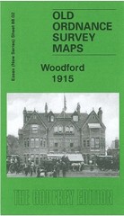
Woodford 1915 Essex Sheet 78.02 by Alan Godfrey

Poetry map of Edinburgh – Douglas Fraser – Scottish Poetry Library.

Bartholomew National Map Series 1:100 000 Lincoln 30