
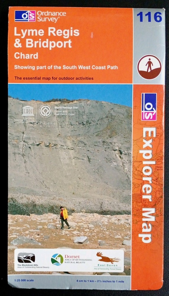

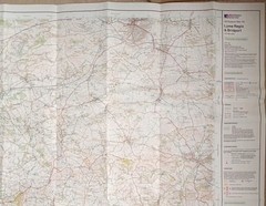
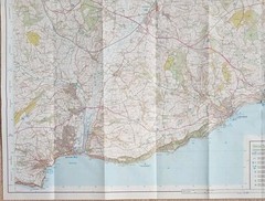
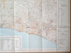
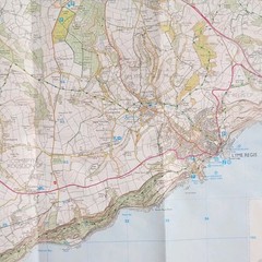
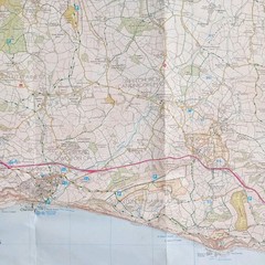

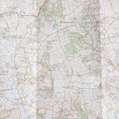
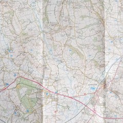

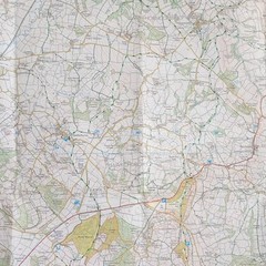
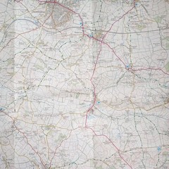
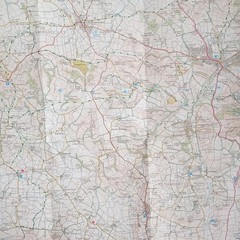
Ordnance Survey Explorer Map 116: Lyme Regis & Bridport (2008).
USD 6.15 USD
Specifications
| Series | Ordnance Survey |
| Publication Year | 2008 |
| Type | Explorer Map |
| Format | Folding Map |
| Language | English |
| Country | England |
| Map Scale | 1:25,000 |
| Publisher | Ordnance Survey |
| Country Of Origin | United Kingdom |
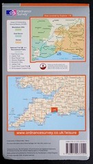
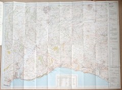
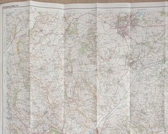
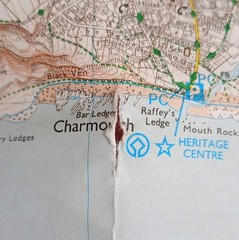
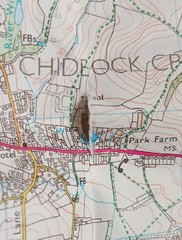
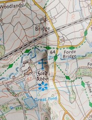
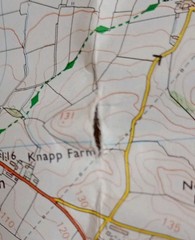
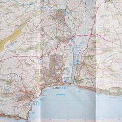
Ordnance Survey Explorer Map 116: Lyme Regis & Bridport including Chard (2008). Showing part of the South West Coast Path. This map is in fairly good condition for its year with no pen, pencil marks or highlighting. There's wear and creasing on and near the folds with 4 small tears, please see photo's 9, 10, 11 and 12. The cover has surface wear on both sides, along the edges and corners. Please see all photo's.
Related Items

READING Wokingham & Pangbourne Sheet 159(Explorer Maps), Ordnance Survey, 2004

Karte der OtztalerAlpen Blatt Gurgl 1:25,000 paper 1955

May 1966 Vintage National Geographic Map Northern and Southern California

Admiralty Small Craft Chart 5600_13: Spithead

Mississippi River Delta;Southwest Pass;South Pass;Head of Passes | NOAA 11361
North York Moors – Eastern Area (Map) OS Explorer Map Active

Charleston South Carolina 2025 Official Visitors Guide Book With Map paperback

On the Map: A Mind-Expanding Exploration of the Way the World Looks (ALA Not…