
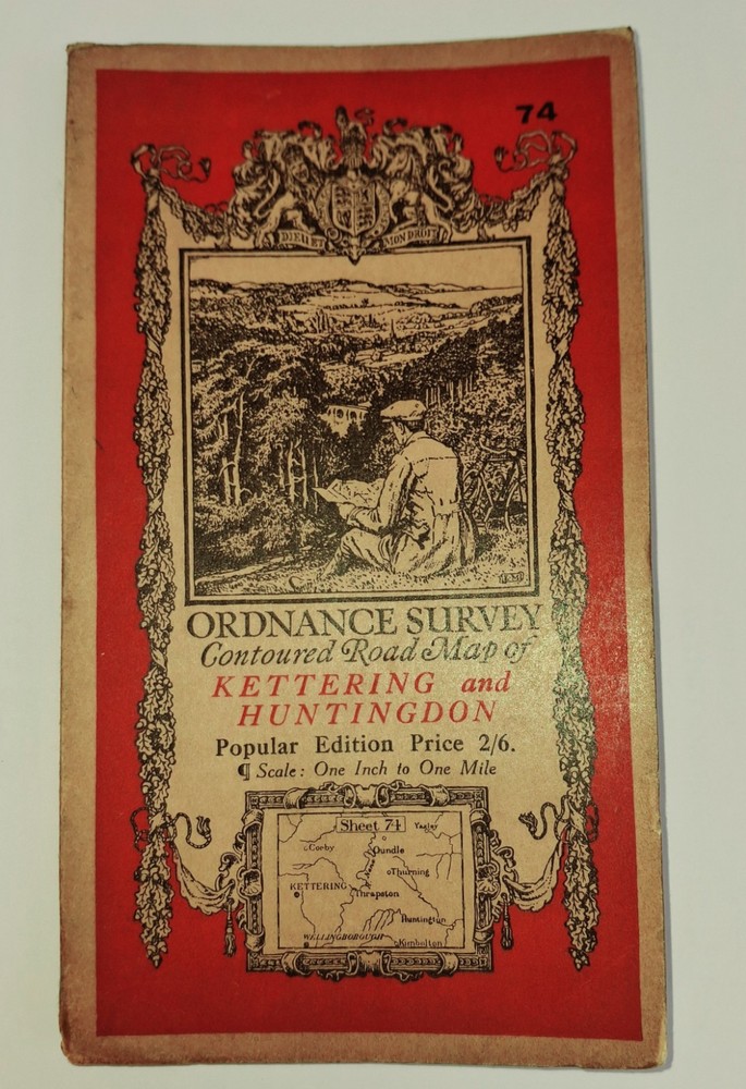
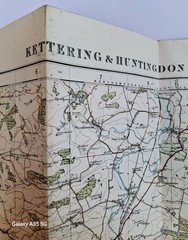
Ordnance Survey 1 Inch Map – Kettering & Huntingdon – Sheet 120 – on Cloth c1930
USD 20.01 USD
Specifications
| Country Of Origin | United Kingdom |
| Publication Name | OS One Inch |
| Publisher | Ordnance Survey |
| City | Kettering, Huntingdon |
| Series | Ordnance Survey |
| Publication Year | 1930 |
| Type | Folding |
| Format | Folding |
| Language | English |
| Author | Ordnance Survey |
| Country | England, United Kingdom |
| Map Scale | One Inch |
| Features | Folding Map |
This is a vintage Ordnance Survey 1 Inch map of Kettering & Huntingdon, Sheet 120, printed on cloth in the 1930s. The map is a folding one and features the two towns and the surrounding areas. It is a great piece of historical mapmaking and perfect for collectors of antiquarian maps. The map is in English and was published by the Ordnance Survey, the UK's national mapping agency.
Related Items

Travels and Natural History Around the World by Prof Anthony, OBE Roberts

Rand McNally World Atlas – Hardcover 1995

ICW Laguna Madre-Chubby Isl.-Stover Pt. incl. Arroyo Colorado | NOAA 11303

Denis Wood The Power of Maps (Paperback) (UK IMPORT)

The Picture Atlas Of The World
Ordnance Survey Map 1:25,000 Outdoor Leisure Sheet 21 South Pennines

Ruthin 1910 Denbighshire Sheet 19.07 by Derrick Pratt

Group 4 x Vintage Ordnance Survey Maps FROME EASTBOURNE DORCHESTER CHICHESTER