
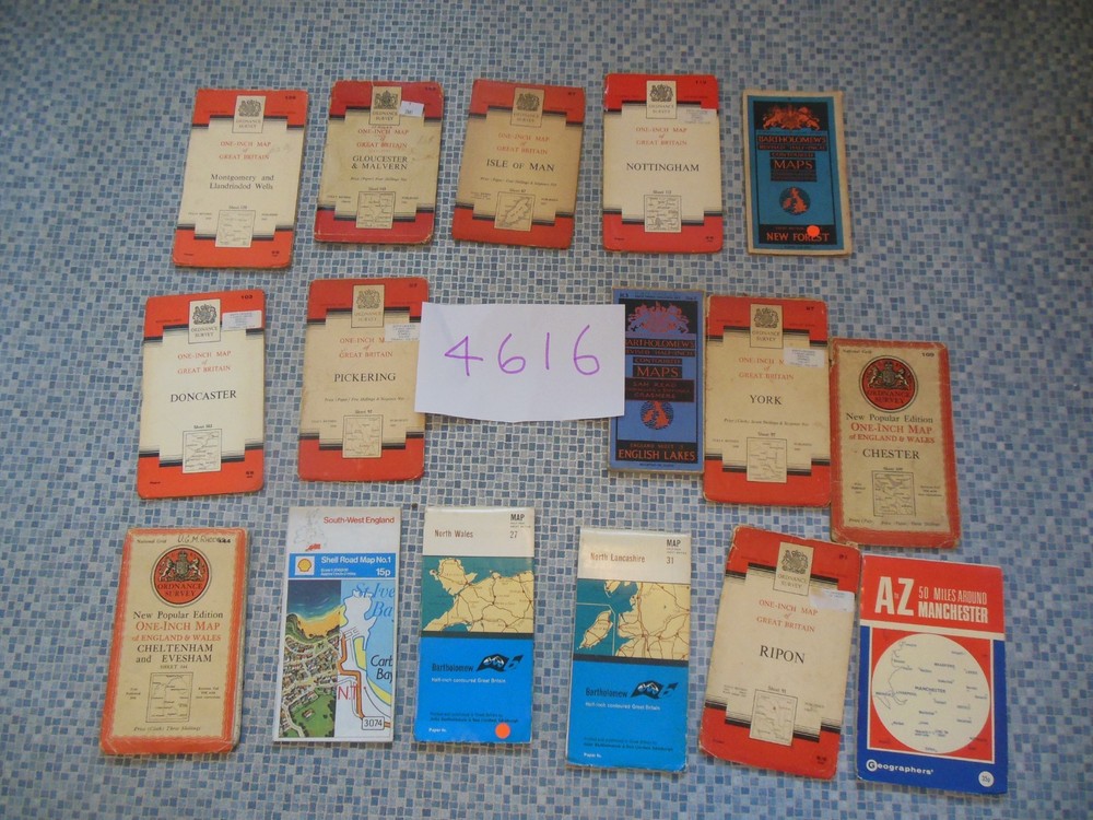
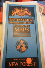
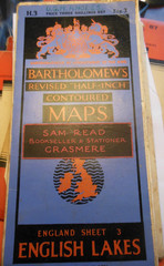
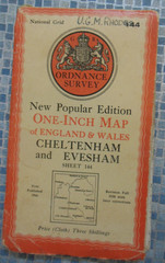
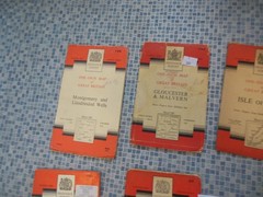
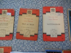
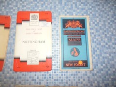
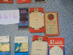
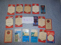
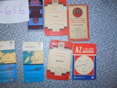
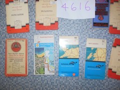
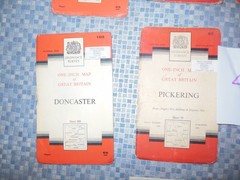
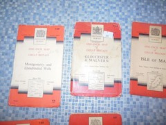
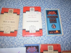
16x Ordnance Survey & Bartolomew’s Sheet Maps 1930’s – 70’s
USD 37.63 USD
Specifications
| Series | Ordnance Survey |
| Publication Year | 1950's |
| Type | Hiking Map |
| Author | Ordnance Survey |
| Publisher | Ordnance Survey |
| Country Of Origin | United Kingdom |
The outer cardboard covers have wear to the edges, and folds. Cheltenham and Evesham Sheet 144 Cloth. A to Z 50 miles around Manchester, not dated, I would guess early 1970's. York Sheet 97 on cloth 1960.
Related Items
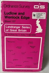
Ordnance Survey Landranger Map – Ludlow & Wenlock Edge – Sheet 137 – 1980

OS MAP ABERGAVENNY & BLACK MOUNTAINS Sheet 161 1980 Landranger

National Grid Seventh Series Sheet 184 Hastings : Ordnance Survey

EASTBOURNE No 183 1969 39564 One Inch Ordnance Survey Map

3323T: Jungfrau Region Switzerland Hiking / Walking Map with route suggestions
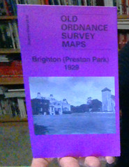
MAP OF Brighton (Preston Park) 1929 Sussex Sheet 66.05 by Alan Godfrey NEW

Admiralty Small Craft Chart 5600_15: Portsmouth Harbour, Approaches to Port Sole

Ordinance Survey Maps Of East Anglia – Bury, Ipswich, Thetford & North Norfolk