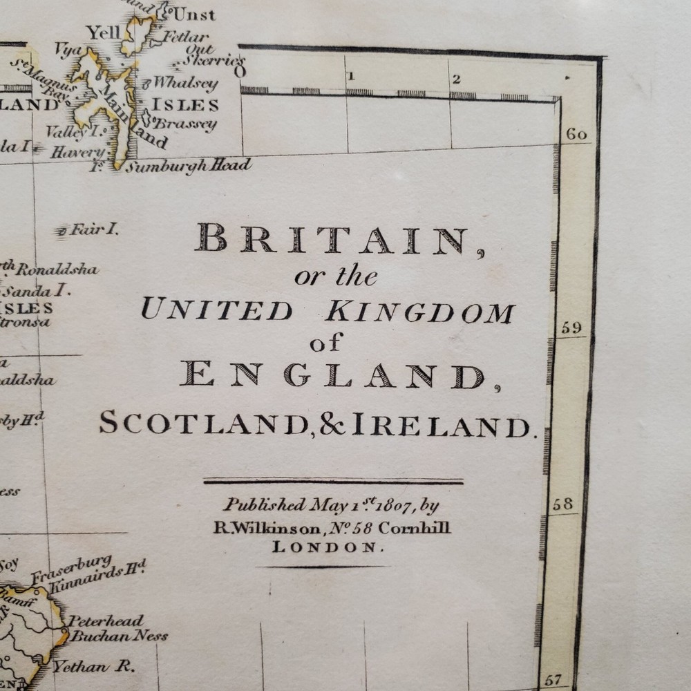
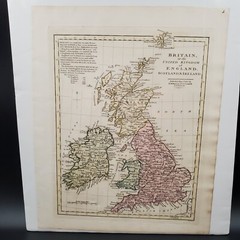

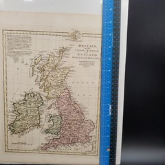
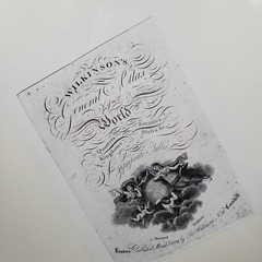
1809 Hand Color Wilkinson’s General Atlas of the World British Isles Map
Specifications
| All Returns Accepted | ReturnsNotAccepted |
| Publication Year | 1809 |
| Type | Topographical Map |
| Language | English |
| Author | Robert Wilkinson |
| Region | Eastern Europe |
| Country | United Kingdom |
| Features | Hand Colored |
| Publisher | Robert Wilkinson |
| Country/Region Of Manufacture | United States |
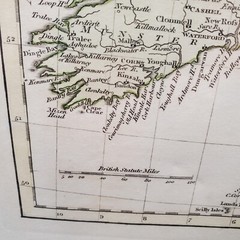
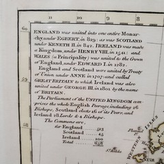
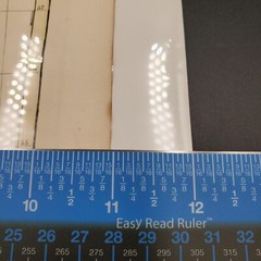
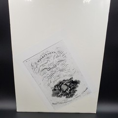
This map of the British Isles from 1809 is a stunning piece of history. With hand color and lithography printing technique, it's a beautiful representation of the British Isles at that time. The map is from Robert Wilkerson's General Atlas of the World and is from 1809. The attention to detail on this map is incredible, from the depiction of countries and regions to the accuracy of the cartography. This is a must-have for collectors of antique maps and those interested in the history of the British Isles.12 1/2 inches x 10 7/8 inches. History: Wilkinson’s General Atlas of the World, published in 1809, is a notable work by English cartographer Robert Wilkinson. This handsome atlas features copper-engraved maps with attractive original wash color.Wilkinson acquired the map plate library from John Bowles and updated the plates until 1794, resulting in this comprehensive atlas. This atlas was reissued several times, in 1802 and 1809, before Wilkinson's death in 1825.This map is sealed and is carboard backed.Please see pictures as they are part of the description also.
Related Items