


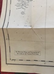


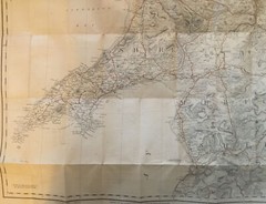
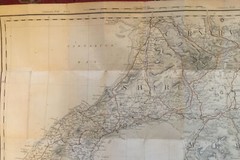
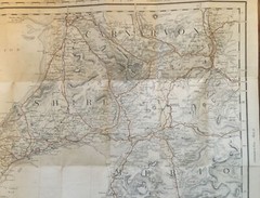
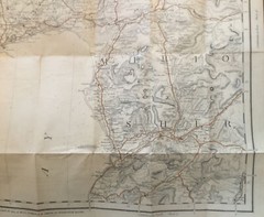

1910 Gall & Inglis, 1/2” Waterproof Cloth Map No 35. – Carnarvon Section (Wales)
USD 13.95 USD
Specifications
| Returns Accepted | ReturnsNotAccepted |
| Publisher | Gall & Inglis |
| Subject | Geography |
| Publication Year | 1910 |
| Series | Contour Road Books |
| Type | Part UK Sheet |
| Language | English |
| Author | Gall & Inglis |
| Country | Great Britain |
| Region | Carnarvon |
| Map Scale | Half-inch Map |
| Features | Folding Map |
| Country/Region Of Manufacture | United Kingdom |
Vintage Gall & Inglis,Half Inch Cloth. Carnarvon Section No. 35. You can see the condition from the pictures, but the brown lines seen on the rear are not tears, just age lines. However for a map well over 100 years old, I consider it to be very good condition.
Related Items
Cardigan: OS Landranger: 1:50,000 map of Britain: Sheet no. 145
Houses of the National Trust: New Edition by Greeves, Lydia Book Simon Jenkins
NIGHT SKY Northern Hemisphere
Leeds (Town Hall & Park Square) 1847-63 Leeds Large Scale Sheet 10
Freytag-Berndt WK 023 Thermenregion Baden – Forchtenstein – pi (Map) (UK IMPORT)

Blue Guide South West France, – Paperback, by Woodman Frank – Very Good
Freytag-Berndt France north, Road map 1:500.000 (Map) (UK IMPORT)

Spirit of the Cotswolds By Susan Hill