
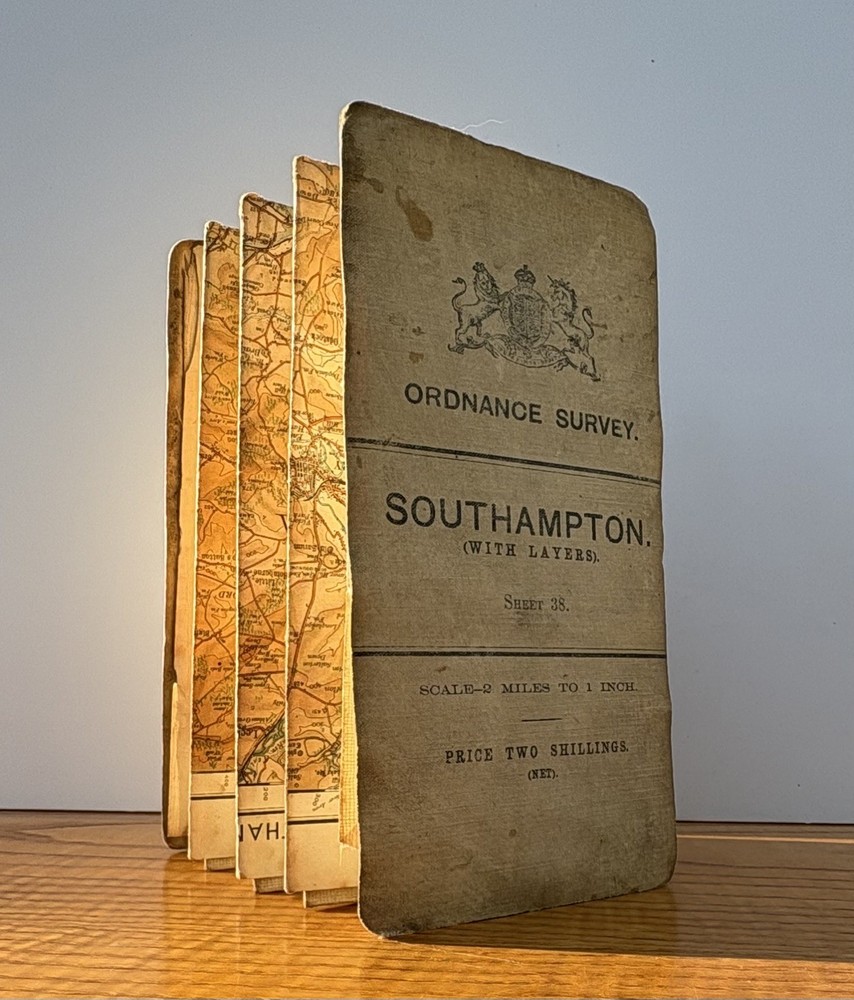

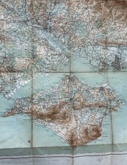
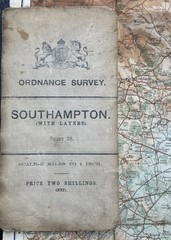
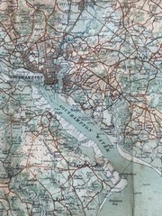

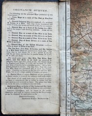
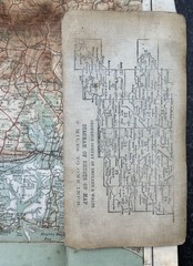
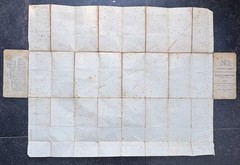
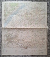
1910 Ordnance Survey Map Southampton Isle of Wight Linen Backed OS
USD 31.14 USD
Specifications
| Publication Name | Southampton Sheet 38 |
| Publisher | Ordnance Survey |
| City | Southampton |
| Series | Ordnance Survey |
| Publication Year | 1910 |
| Type | Topographical Map |
| Format | Folding Map |
| Language | English |
| Item Height | 78cm |
| Author | Ordnance Survey |
| Country | England |
| Map Scale | 2 miles to 1 inch |
| Features | Linen Backed, Folding |
| Country Of Origin | United Kingdom |
| Item Width | 72cm |
| Item Weight | 100g |
Original c.1910 Ordnance Survey map of Southampton and the Isle of Wight, a detailed pre-WWI linen-backed folding sheet. A good original example of a pre-WWI Ordnance Survey map, ideal for collectors, local history interest or display.
Related Items

OS Ordnance Survey 1″ New Popular Edition sheet 181 Chichester – 1945 on cloth

ORDNANCE SURVEY SHEET MAP SALISBURY & THE PLAIN SHEET 184 NO RIPS TEARS VGC

100 Places in France Every Woman Should Go Marcia DeSanctis paperback Used – Ve

OS 1:25000 Pathfinder Series Map Okehampton SX 49/59 Ordnance Survey

Mobil Travel Guide 2002 – Paperback, by Consumer Guide – Very Good x
Stechford 1902 Warwickshire Sheet 14.07 by Malcolm Nixon

Blackpool and Preston (Map) OS Explorer Map (UK IMPORT)
Ordnance Survey Map Of Bristol & Stroud Sheet 156