
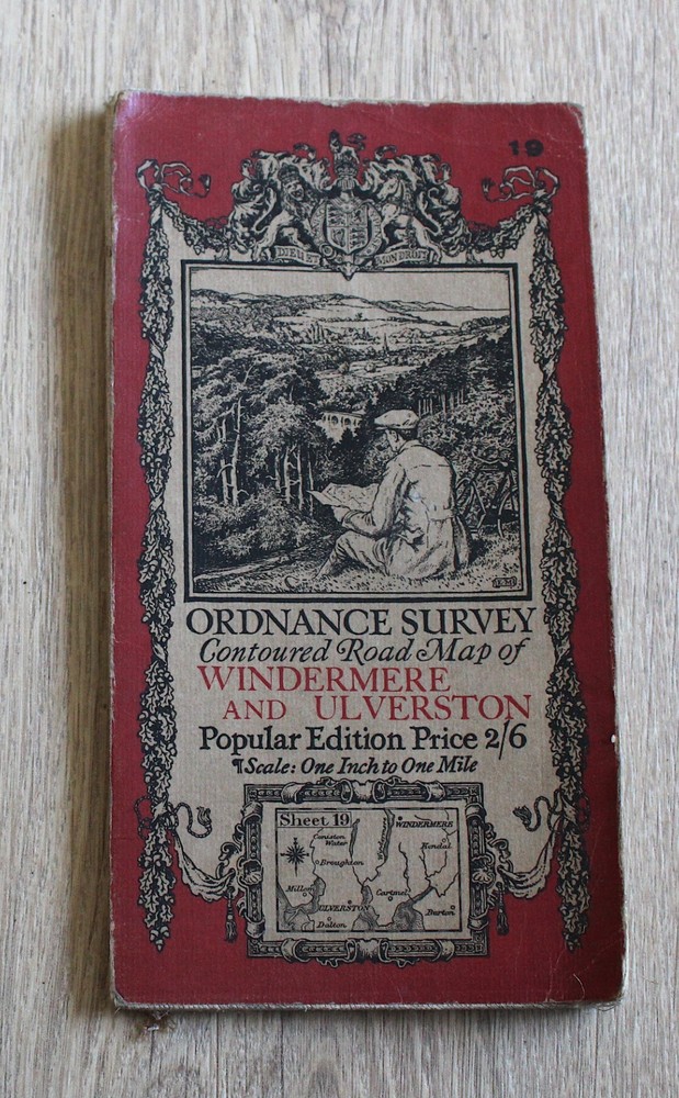

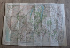

1925 Ordnance Survey Contoured Road Map WINDERMERE ULVERSTON 1 inch Popular Ed
USD 9.31 USD
Specifications
| Publisher | Ordnance Survey |
| City | Ulverston |
| Subject | Geography & Geosciences |
| Publication Year | 1925 |
| Series | Ordnance Survey |
| Type | Map |
| Unit Type | Unit |
| Format | Cloth Book |
| Language | English |
| Item Height | 77 cm |
| Region | Europe, Great Britain |
| Country | England, United Kingdom |
| Author | unknown |
| Features | Folding Map |
| Map Scale | 1 inch to 1 mile |
| Item Weight | 100 g |
| Item Width | 54 cm |
| Country Of Origin | United Kingdom |
ORDNANCE SURVEY. Ordnance Survey, 1925 Popular edition.
Related Items

(G103) Map of Preston PR Postcode Sectors, Poster of Preston Postcodes

World War I Illustrated Atlas: Campaigns, Battles & Weapons from

The Penguin State of the World Atlas (Paperback by Dan Smith)
NORTHERN ENGLAND – Colourmaster map for visitors

Make Your Travel Dollars Worth a Fortune : The Contrarian Traveler’s Guide to G…

1989 Ordnance Survey Pathfinder Map 440 NR 74 & 84 Grogport ( Kintyre )

Vintage Ordnance Survey One Inch Preston 1969 Map 94

Lower Tamar Valley and Plymouth (Map) OS Explorer Map