


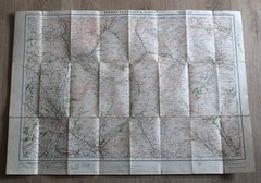

1925 Ordnance Survey Contoured Road Map of KIRKBY LONSDALE 1 inch Popular Ed
USD 13.30 USD
Specifications
| Publisher | Ordnance Survey |
| City | Hawes |
| Subject | Geography & Geosciences |
| Publication Year | 1924 |
| Series | Ordnance Survey |
| Type | Map |
| Unit Type | Unit |
| Format | Cloth Book |
| Language | English |
| Item Height | 77 cm |
| Region | Europe, Great Britain |
| Country | England, United Kingdom |
| Author | unknown |
| Features | Folding Map |
| Map Scale | 1 inch to 1 mile |
| Item Weight | 100 g |
| Item Width | 54 cm |
| Country Of Origin | United Kingdom |
KIRKBY LONSDALE &. ORDNANCE SURVEY. Ordnance Survey, 1925 Popular edition.
Related Items

Michelin France 2026 – Michelin National Map 721 (Map) (UK IMPORT)

Bacon’s Motoring & Cycling Road Map NORTH IRELAND Colour Cloth Fold Out Dublin
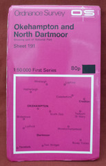
ORDNANCE SURVEY 1:50,000 MAP – OKEHAMPTON AND NORTH DARTMOOR – SHEET 191 – 1974

One-Inch Map sheet 166. Frome : Ordnance Survey

Weymouth (Westham), Weymouth or Wyke Regis 1901 Dorset 53.10, 53.11 or 53.14
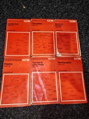
1960’s/70s Vintage Ordinance Survey Maps X13 (Sh2)
Family Maps Of Eaton County, Michigan

The Macmillan World Atlas Hardback With Dust Cover 1996