
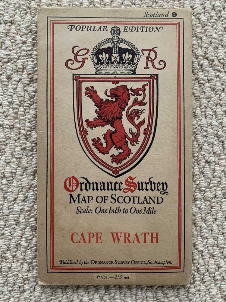
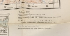
1930 Ordnance Survey One Inch Popular Edition Map 9 Cape Wrath
USD 30.94 USD
Specifications
| Series | Ordnance Survey |
| Publication Year | 1930 |
| Type | Map |
| Publication Name | Ordnance Survey |
| Author | Ordnance survey |
| Country Of Origin | United Kingdom |
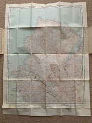
The 1930 Ordnance Survey One Inch Popular Edition Map 9 Cape Wrath is a map published by Ordnance Survey in 1930. It falls under the Series of Ordnance Survey maps and is a Local Map type. The map covers the area of Cape Wrath, providing detailed geographical information. Created by Ordnance Survey, this map serves as a valuable resource for individuals interested in exploring and navigating the specified regions during the time it was published. From a smoke & pet free home.
Related Items
WINCHESTER Ordnance Survey Cloth 1 Inch Map 1945 6th Edition Sheet 168 Dissected

Kings Of The Great Western, 1927-77 by Coffin, Rex. Signed by Author

Wainwright’s Coast to Coast Walk by Alfred Wainwright

ORDNANCE SURVEY 1:50000 1ST SERIES MAP-SHEET 201-PLYMOUTH AND LAUNCESTON

Atlas of the World : Sixteenth Edition by Not Available (2009, Hardcover)
Atlas of the Transatlantic Slave Trade (The Lewis Walpole Series in Eighteen…

Essential World Atlas

Lonely Planet Lonely Planet Korea Plannin (Map) (UK IMPORT) (PRESALE 10/01/2026)