

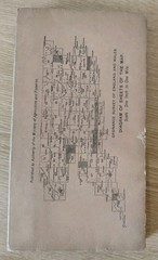


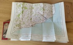

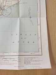

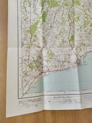


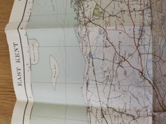
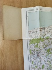




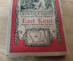


1931 Ordnance Survey 1 Inch To 1 Mile Contoured Road Map, #117 East Kent, Cloth
USD 21.86 USD
Specifications
| Country Of Origin | United Kingdom |
| Publication Name | Ordnance Survey |
| City | Dover |
| Subject | Travel |
| Series | Ordnance Survey |
| Publication Year | 1931 |
| Type | Map |
| Format | Cloth Map |
| Language | English |
| Author | Ordnance Survey |
| Country | England |
| Region | Great Britain |
| Map Scale | 1:63360 |
| Features | Folding Map |
| Item Weight | 75g |
Engraved at the ORDNANCE SURVEY OFFICE. Minor corrections 1931. Taken from the map.
Related Items

Manchester to Derby (Ambergate): Derby to Manchester … by Bentley, C. Hardback
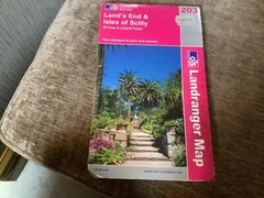
Land’s End and Isles of Scilly, St.Ives … by Ordnance Survey Sheet map, folded
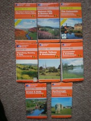
155 167 168 169 190 OL14 45 STROUD COTSWOLD LOT EXPLORER ORDNANCE SURVEY MAPS OS

MONTHOMERY & LLANDRINDOD Ordnance Survey 7th Series CLOTH 1 In Map Sh 128 1952

Backwoods Ethics: A Guide to Low-Impact Camping and Hiking by Guy Waterman: New

180 181 182 191 192 193 BUCKINGHAM CHILTERN HILLS EXPLORER ORDNANCE SURVEY MAPS
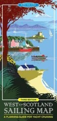
Mike McDonald West of Scotland Sailing Map (Map) (UK IMPORT)

Antique Ordnance Survey 1m:1in Sheet Map on Linen No.70 Bishop’s Castle 1931