
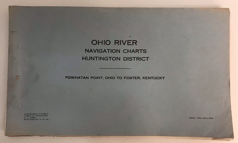

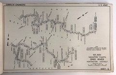
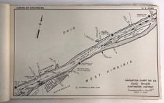
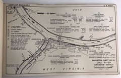
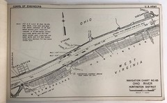
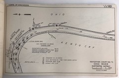
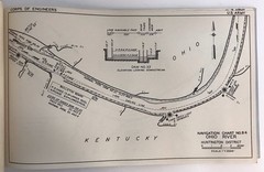
1962 U.S Army Corps Ohio River Navigation Charts Powhatan Point OH Foster KY
USD 24.99 USD
Specifications
| Publication Year | 1962 |
| Type | Geological Map |
| Country Of Origin | United States |
1962 U.S Army Corps Ohio River Navigation Charts Powhatan Point OH Foster KY Some discoloration and wear from age and storage. Please see all pictures for condition details. Measures approximately 15" x 8".
Related Items

Bartholomew’s Readers Digest Touring Map SCOTLAND 1994

Ordnance Survey Map Of Great Britian – BIRMINGHAM – 1967 – 1/63360

Oxford Bible Atlas hardback fourth edition 4th Curtis, Adrian with jacket

1998 Boston Harbor | Waterproof NOAA Chart #65

USGS Geologic Map Cowcreek Quadrangle, Owlsley & Breathitt Counties, Kentucky

ADC The Map People Street Atlas Lot MD/DC: Baltimore, Frederick, Montgomery +

Ordnance Survey Map Of Great Britian – CHELTENHAM AND EVESHAM – 1965 – 1/63360

Delorme Massachusetts Atlas & Gazetteer 4th Ed Rand McNally Paperback 2009