
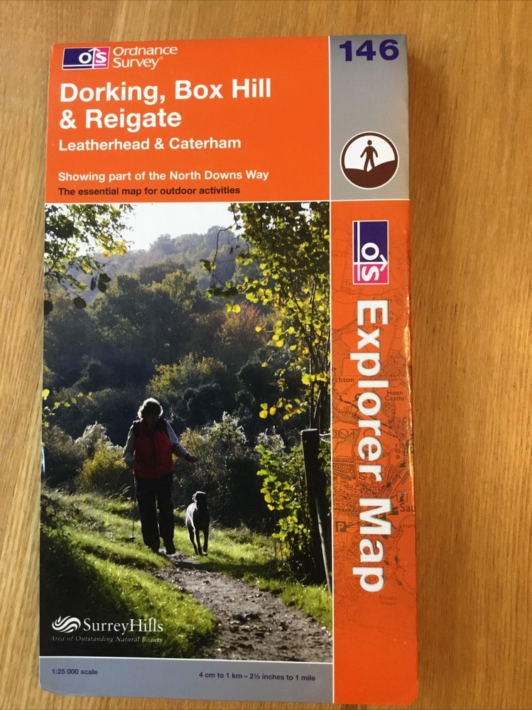

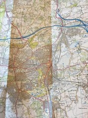

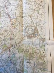
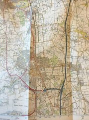
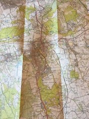
2008 Ordnance Survey Explorer Map 146 Dorking , Box Hill & Reigate (inc Caterham
USD 9.30 USD
Specifications
| Type | Map |
| Publication Name | Ordnance Survey / Other |
| Author | Ordnance Survey / Other |
| Item Weight | 75g |
Ordnance Survey Explorer map of Dorking, Box Hill and Reigate which also includes Leatherhead and Caterham and shows part of the North Downs Way. The cover has minimal creasing to the edges. The map itself is in good condition. Any questions please ask. Postage is usually the same or next business day but please allow up to two business days for dispatch. I also post on Saturdays when possible.
Related Items

National Geographic Asia Wall Map – Classic – Laminated (33.25 x 38 in) (Nati…

100 Places in Italy Every Woman Should Go by Susan Van Allen
Sevenoaks and Tonbridge (Map) OS Explorer Map

MICHELIN LOCAL MAP NO. 365 SICILIA (SICILY) SCALE By Michelin Travel NEW

Anavasi Lesvos (Map) (UK IMPORT)

OS Ordnance Survey Landranger Map Sheet 90 Penrith, Keswick & Ambleside – 1988

50 STATES TRAVELED JOURNAL 6 x 9 Paperback with prompts
TAUNTON & LYME REGIS Ordnance Survey Seventh Series CLOTH 1 inch 1960 Sheet 177