
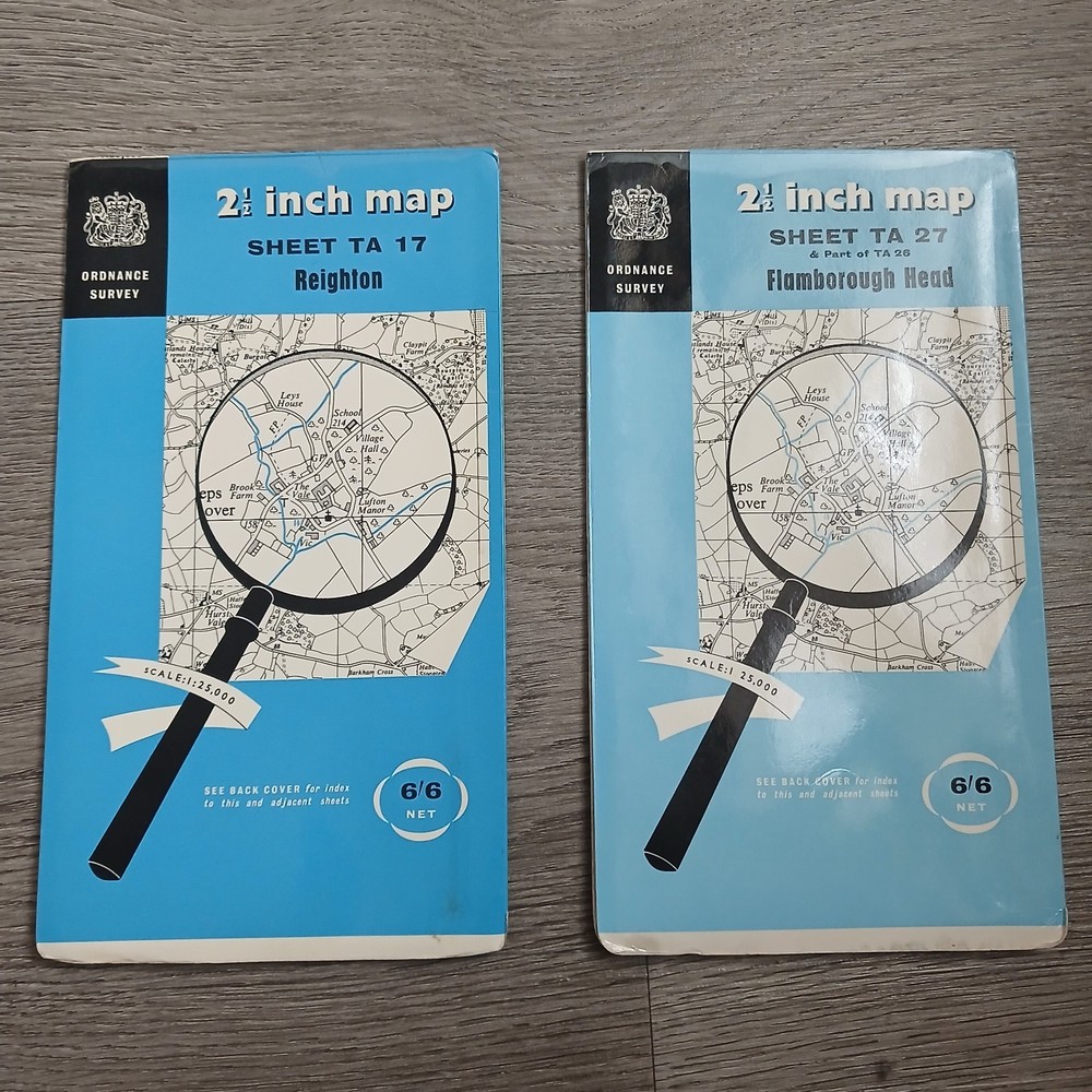








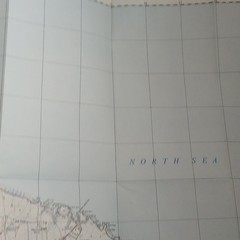
2x Vintage Ordnance Survey 2.5 Inch Maps Sheet TA 17 Reighton TA 27 Flamborough
USD 17.30 USD
Specifications
| Publisher | Ordnance Survey |
| Subject | Geography & Geosciences |
| Series | Ordnance Survey |
| Publication Year | 1957 |
| Type | Hiking Map |
| Format | Paperback |
| Language | English |
| Author | Ordnance Survey |
| Country | United Kingdom, England |
| Region | Great Britain |
| Map Scale | 1:25,000 |
| Features | Folding Map |
| Country Of Origin | United Kingdom |
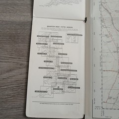
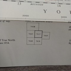
Sheet TA 17 – Reighton: Covers Reighton, Speeton, Hunmanby, and the surrounding coastal landscapes just south of Filey. Sheet TA 27 (& Part of TA 26) – Flamborough Head: Covers the entire Flamborough Head peninsula, including Flamborough village, Bempton, and the famous chalk cliffs.
Related Items

MAP OF Belfast Lough 1900 Irish One Inch Sheet 29 by Alan Godfrey NEW

Explorer’s Guide New Hampshire: 0 (…, Imbrie, Katheri

Rand McNally 2022 Road Atlas & – Spiral-bound, by Rand McNally – Very Good

Vintage Chicago Street Guide From 1936

The 21st Century World Atlas Hardback Book The Fast Free Shipping
Ordnance Survey 1:50,000 Map Landranger Sheet 172 Swindon & Devizes

BARTHOLOMEWS CLOTH HALF-INCH CONTOURED MAP SURREY SHEET 9 vgc
South Holland 1906 One Inch Sheet 144 by Richard Oliver