
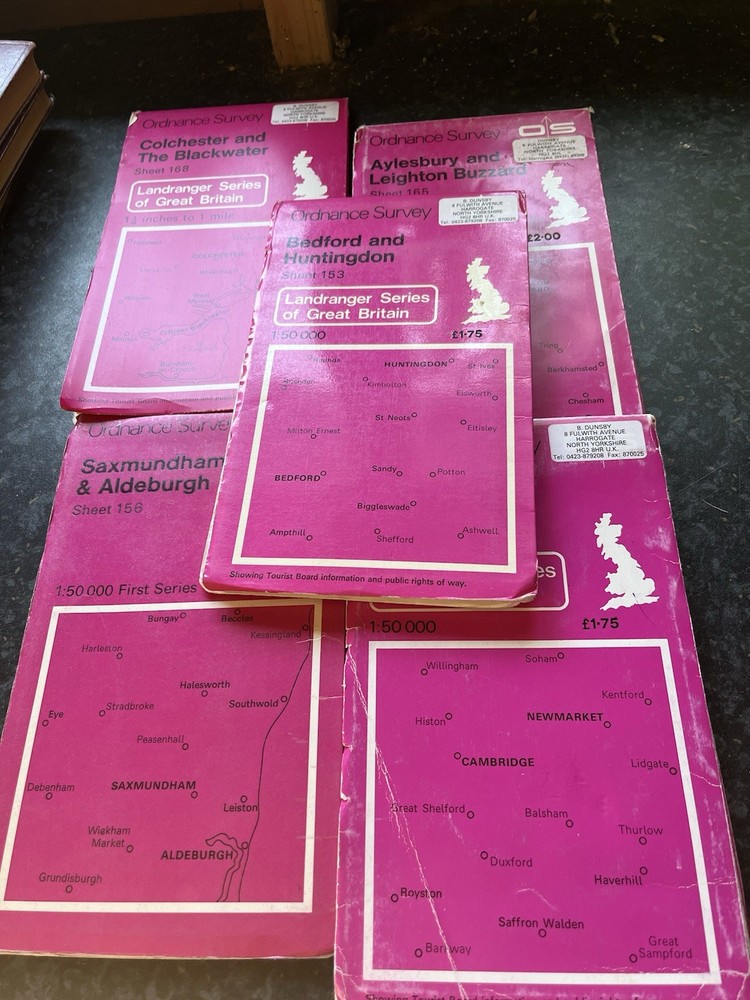
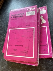
5 X Ordnance Survey Landranger Maps Bundle Sheets Cambridge Area Vintage OS Maps
USD 20.18 USD
Specifications
| Bundesland | Thuringia |
| Publication Name | Collins Primary Atlas |
| Publisher | Ordnance Survey |
| City | London |
| Subject | Geography & Geosciences |
| Series | Ordnance Survey |
| Type | Hiking Map |
| Format | Paperback |
| Language | English |
| Region | Great Britain |
| Country | United Kingdom |
| Author | Ordnance Survey |
| Map Scale | 1:50,0 |
5 x Ordnance Survey Landranger Maps Bundle – Sheets 153, 156, 165, 168 & Cambridge Area – Vintage OS Maps Bundle of five vintage Ordnance Survey Landranger Series maps covering Bedford & Huntingdon, Saxmundham & Aldeburgh, Aylesbury & Leighton Buzzard, Colchester & The Blackwater, and the Cambridge/Newmarket area. Ideal for walking, hiking, driving, route planning, world travel collections and map enthusiasts. Published by Ordnance Survey, Landranger Series, 1:50,000 scale.
Related Items

The CHILTERNS Ordnance Survey CLOTH Map 1959 Seventh Series No 159 Windsor

DOG-FRIENDLY WASHINGTON, D.C. AND THE MID-ATLANTIC STATES: By Trisha Blanchet

North and South Devon Cycle Map 2 (Map)

A Railroad Atlas of the United States in 1946: Volume 2: New York & New England

North Seaton & Cambois 1921 Northumberland Sheet 70.06 by Alan Godfrey

Durham (Map) 1: 63 360 Series Geological Maps (England & Wales) (UK IMPORT)

The Penguin Atlas of Women in the World: Fourth Edition – Paperback – GOOD

Ireland’s Beautiful North