
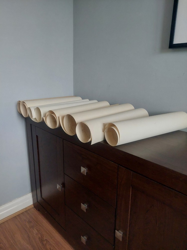


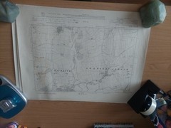
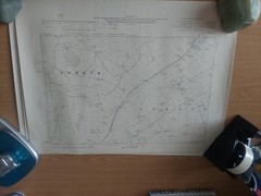
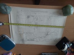
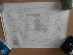


8 x 1910 Ordnance Maps 6″ to 1 mile scale Yorkshire North & West Riding areas
USD 21.55 USD
Specifications
| Publication Year | 1910 |
| Series | Ordnance Survey |
| Publication Name | Ordnance Survey |
| Author | Ordnance Survey |
| Country | United Kingdom |
| Country Of Origin | United Kingdom |
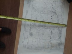
These 8 x old maps printed on "War Substitute Paper" are in fair condition..they are all tanned with age. 7 are printed in 1910 and the other 1930..These are "Heliozincographed" from 2,500 plans and published by the director General at the Ordnance Survey Office in Southampton..The Scale is six inches to one statute mile..and covers areas in the West Riding/North Riding areas such as...Thorpe,Givendale Bridge,Hawick,Ripon,Wetherby,Kirkdeigh,Bishop Monkton,Westwick,Righton,Kirkby,Knaresborough, Harrogate,Glaxby,Arkendale,Overblown,Spotforth with Stockfield..and many more ..ideally I would like to sell in one hit..
Related Items

MAP OF Central Cardiff 1915 Glamorgan Sheet 43.15 NEW 9781847845443

Tong 1905 Yorkshire Sheet 217.10 by Ruth Strong

Vintage Geographers A-Z Reversible Road Map Of Great Britain 1:728,640

The Times Concise Atlas of the World Hardback Book The Fast Free Shipping
Ordnance Survey Old & Vintage Map 2006 sheet 204 Truro and Falmouth 1:50 000
OS One Inch Map – Dolgelley – Sheet 116 – 1947 – Ordnance Survey

Job Lot Maps X11 – E & W Midlands -Ordnance Survey 1:50000 + Guide Map Stratford

Ordnance Survey Explorer 1:25,000: Sheet 25 / 252 Norfolk Coast East – 1997