

A Map of Tudor London: The City and Southwark in 1520. Second edition by Carolin
USD 20.02 USD
Specifications
| Format | Folded |
| ISBN-13 | 9781838071943 |
| Book Title | A Map of Tudor London |
| ISBN | 9781838071943 |
Dominating the city are the Tower of London in the east, the old St Paul's Cathedral in the west and London Bridge in the south. The new edition has a revised cover and illustrations. A Map of Tudor London by Caroline Barron, Vanessa Harding, Giles Darkes.
Related Items

Antarctic Explorer: Visitor’s Map of the Antarctic Peninsula Region and map of t

Switzerland: West by GeoCenter International Ltd (Sheet map, folded, 2000)

Runcorn 1905: Lancashire Sheet 115.13 (… by Greatbatch, Mike Sheet map, folded

Tisbury 1900 Wiltshire Sheet 64.15 by Alan Godfrey
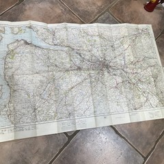
Vintage Survey of Great Britain “One Inch” Map – Glasgow – c1925

Benelux by Estate Publications (Sheet map, folded, 1995)

Lot of 9 DeLorme Atlas & Gazetteer Map Books Utah Montana Idaho Oregon Maine
Central Glasgow 1893: Lanarkshire Sheet 6.10a by Gilbert Bell Folded Book