
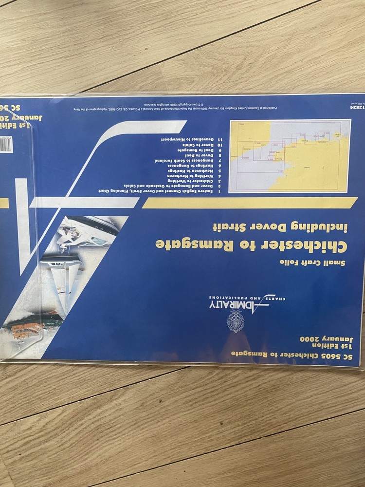
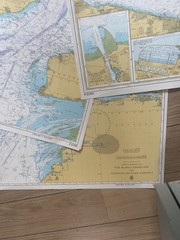
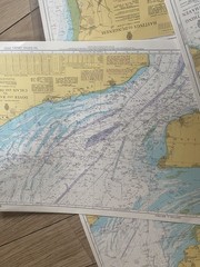
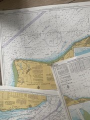
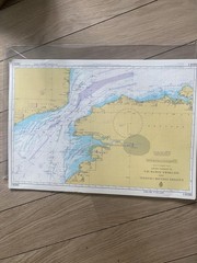
Admiralty Chart Chichester To Ramsgate Including Dover Straits 1st Edition 2000
USD 94.97 USD
Specifications
| Publication Year | 2000 |
| Language | English |
| Country | United Kingdom |
| Region | Great Britain |
| Features | 1st Edition |
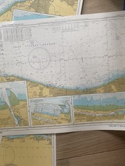
The Admiralty Chart from 2000 covers the Chichester to Ramsgate region, including the Dover Straits. It is a 1st edition map in English, produced by the United Kingdom's Hydrographic Office. This detailed chart is a valuable resource for sailors, fishermen, and anyone interested in the waters of Great Britain. In mint condition for age
Related Items

Wendy Price Shetland Map (Map) Colin Baxter Maps

Geological survey map Ordinance Survey Drift Sht266 Marlborough 1925 reprint1957

Gulf of Thailand | NGA Chart 93010

50 HIKES MARYLAND 1E PA (50 Hikes Series), Adkins, LM

Blue Guides: Prague by Jasper Tilbury (2004, Trade Paperback)

Colin Murphy A Feckin’ Tour of Ireland (Hardback)

Cockpit Confidential : Everything You Need to Know about Air Travel – …

OLD 1922 OS cloth MAP BARMOUTH ABERYSTWYTH ABERDOVEY MACHYNLLECH TOWYN DOLGELLAU