
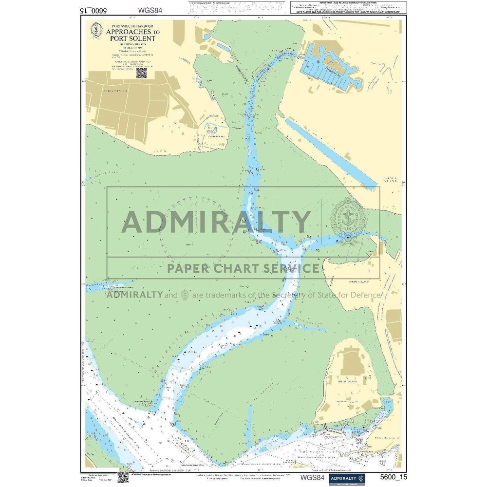
Admiralty Small Craft Chart 5600_15: Portsmouth Harbour, Approaches to Port Sole
USD 22.87 USD
Specifications
| Country Of Origin | United Kingdom |
| Brand | Admiralty |
| Language | English |
| Publisher | Admiralty |
| Sub-Type | Small Craft Chart |
| Subject Area | Nautical |
| Type | Nautical Chart |
The Admiralty Small Craft Chart 5600_15 is a nautical chart printed on 535 x 715 mm chart paper, providing detailed information on Portsmouth Harbour and the approaches to Port Sole. Created by the United Kingdom Hydrographic Office, this chart is part of the Admiralty Small Craft Charts series and is in English language. Published by Admiralty, this chart serves as a valuable resource for those navigating the waters around Portsmouth Harbour in the United Kingdom and Ireland.
Related Items

Old Ordnance Survey Maps Meanwood & Far Headingley 1906

Map Use: Reading Analysis Interpretation by A. Kimerling

Encyclopedic World Atlas Hardcover

Maidstone Reprint of the First Edition OS Sheet 80 David & Charles

The Great World Atlas by DK Publishing: Used

Atlas of Remote Islands: Fifty Islands I Have Never Set Foot On and Never Wi…

BARTHOLOMEW BIRMINGHAM TO AND THROUGH

Paignton 1904 Devon Sheet 122.05 by Richard Oliver