
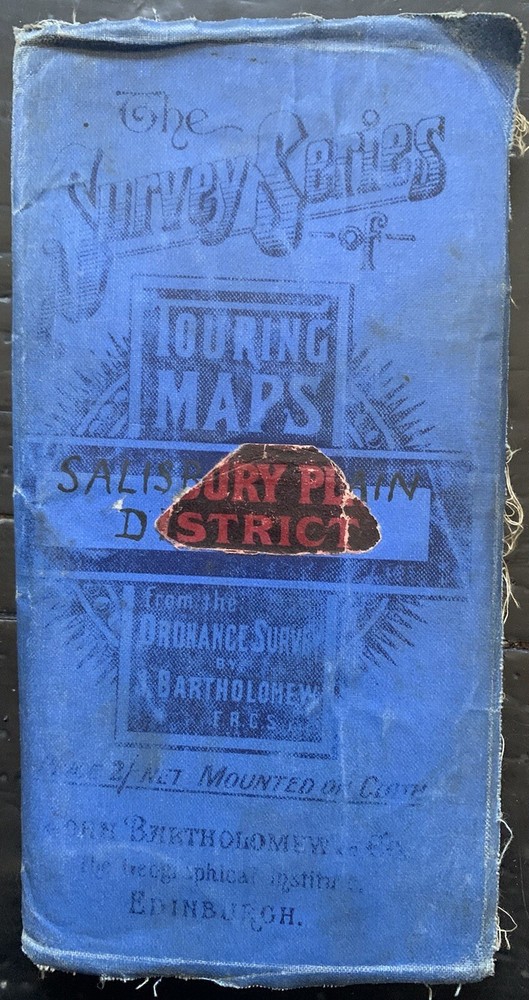
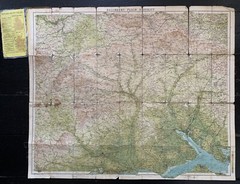
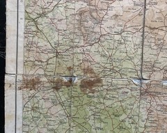
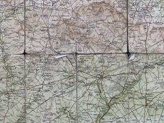
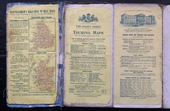
Antique Cloth Map – Bartholomew’s NEW REDUCED SURVEY – 32 SALISBURY PLAIN c 1910
USD 4.34 USD
Specifications
| Returns Accepted | ReturnsNotAccepted |
| Publisher | Bartholomew's |
| Subject | Geography & Geosciences |
| Series | New Reduced Survey |
| Publication Year | 1910 |
| Type | Topographical Map |
| Format | Folding Map |
| Region | Great Britain |
| Country | United Kingdom |
| Author | Bartholomew's |
| Map Scale | 1:126,700 |
| Country/Region Of Manufacture | United Kingdom |
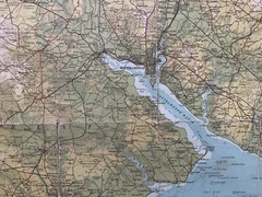
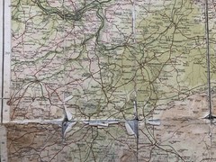
Antique Cloth Map - Bartholomew's NEW REDUCED SURVEY - No. 32 SALISBURY PLAIN DISTRICT, c 1910 Scale 2 Miles to an Inch Coloured Map, for TOURISTS & CYCLISTS, mounted on cloth. Printed on paper and mounted on cloth. Published at the The Geographical Institute by John Bartholomew & Son Ltd. Has rips and holes on folds.
Related Items
OS Ordnance Survey Landranger Map 1974, Sheet 117 – CHESTER
Old Ordnance Survey Maps – Rawmarsh 1901 (Godfrey Edition, Folded Map 1985)

Vintage Bartholomews Half Inch Paper Map, Sheet 51, Grampians

Alan Godfrey Old Ordnance Survey Maps London Joblot Bundle 8 Historical OS Set
Outdoor Leisure Map The English Lakes North Eastern Ordnance Survey 1982
1994 Ordnance Survey Landranger Map 153 Bedford & Huntingdon (incl St Neots )

Barnett’s Street Plan & Map – Colchester 1970s FB4

Ordnance Survey Explorer Maps Bundle x 4 orange yello OL15 OL16 OL18 OL42 Used